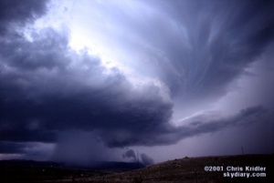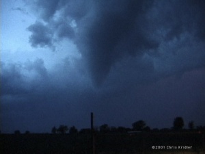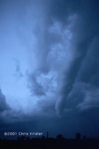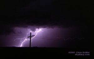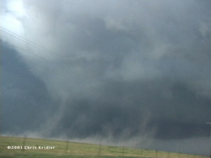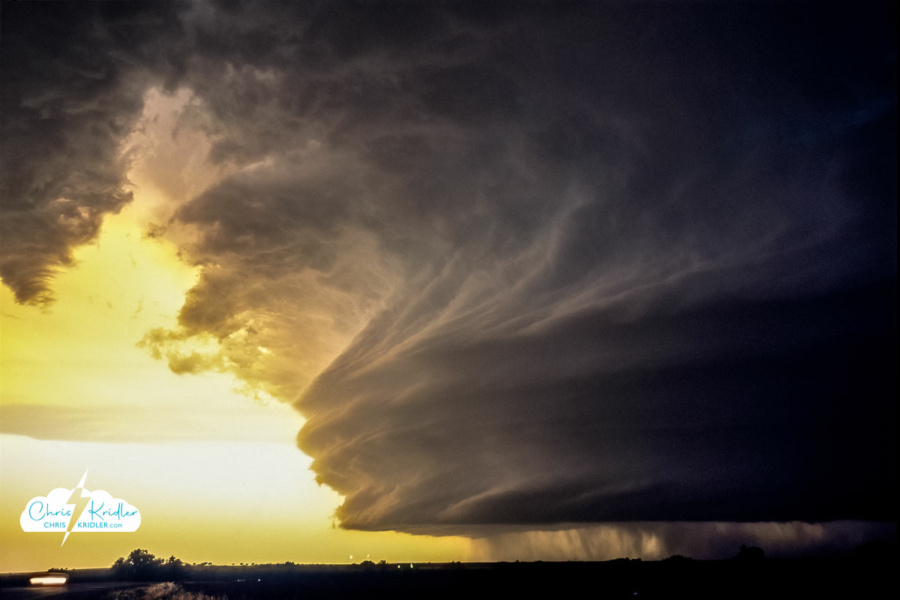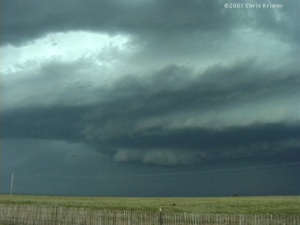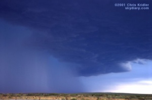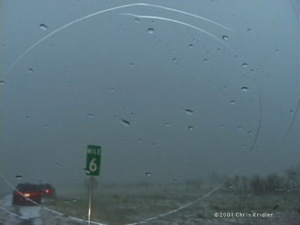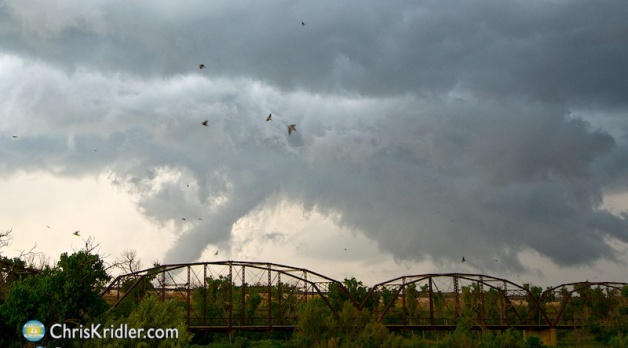
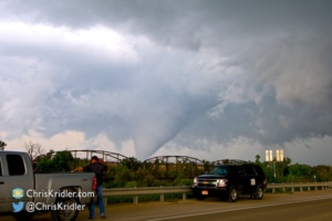
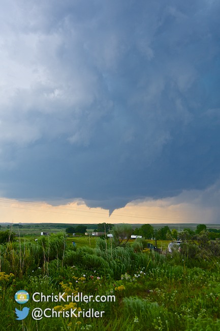
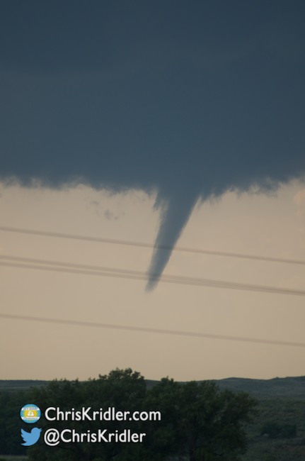
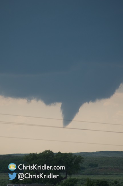
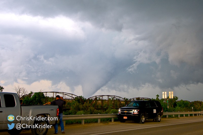
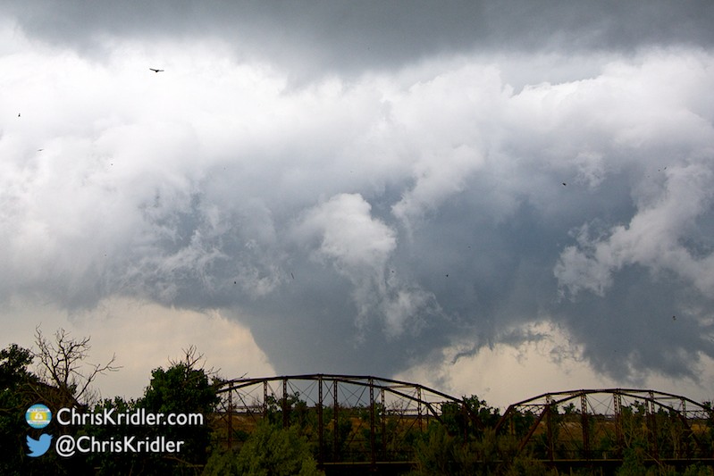
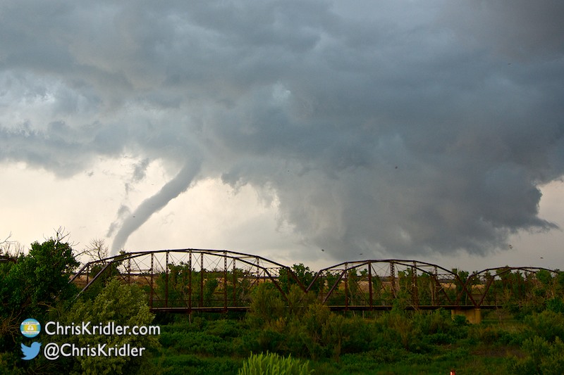
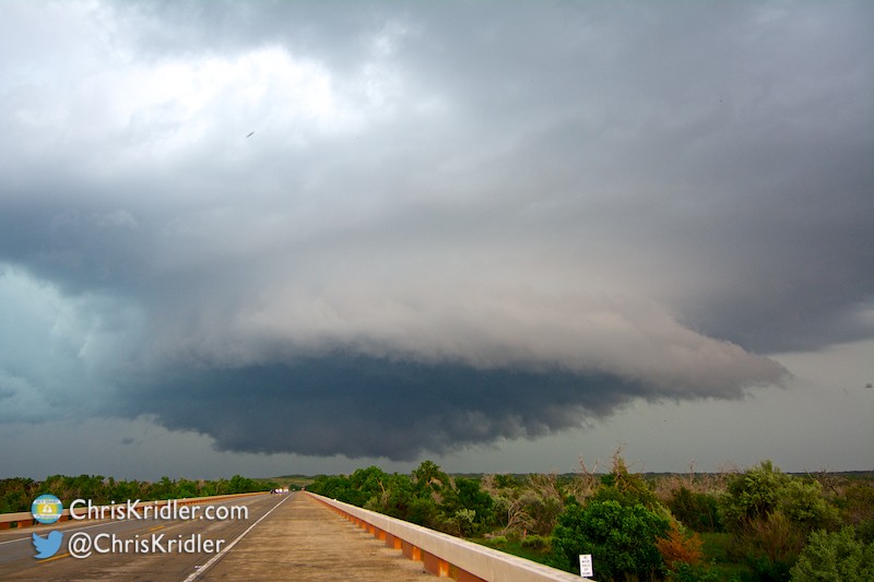
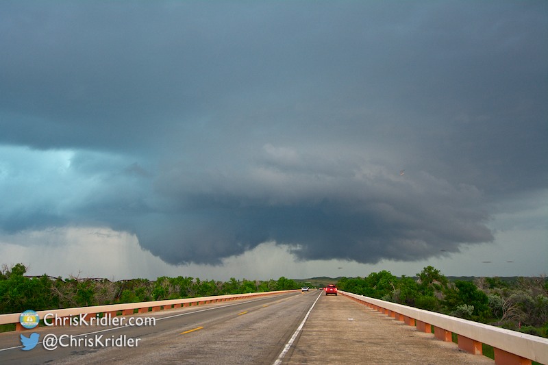
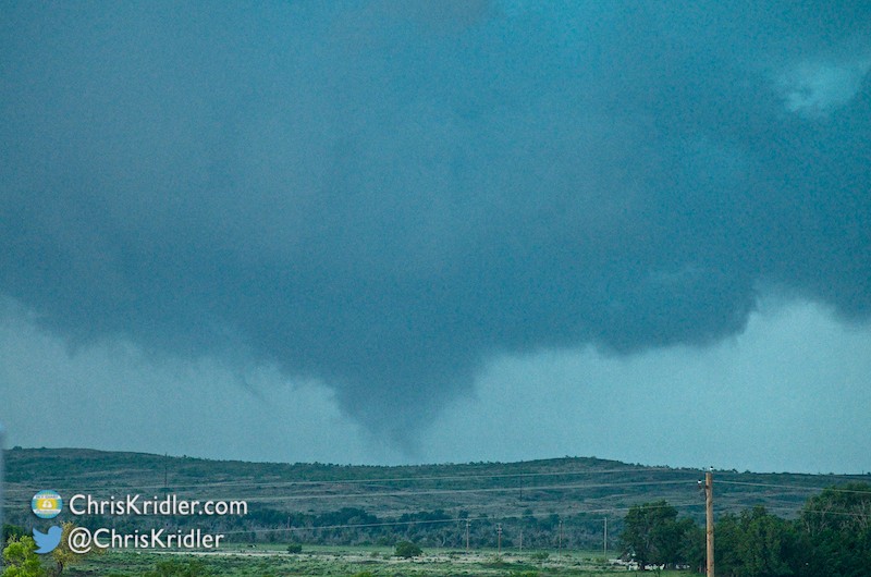
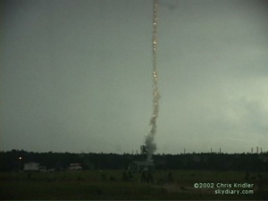
I separated from the group, hoping to escape the rain, and stopped on the bridge to check out the circulation. Whoa! A huge cone on the ground!
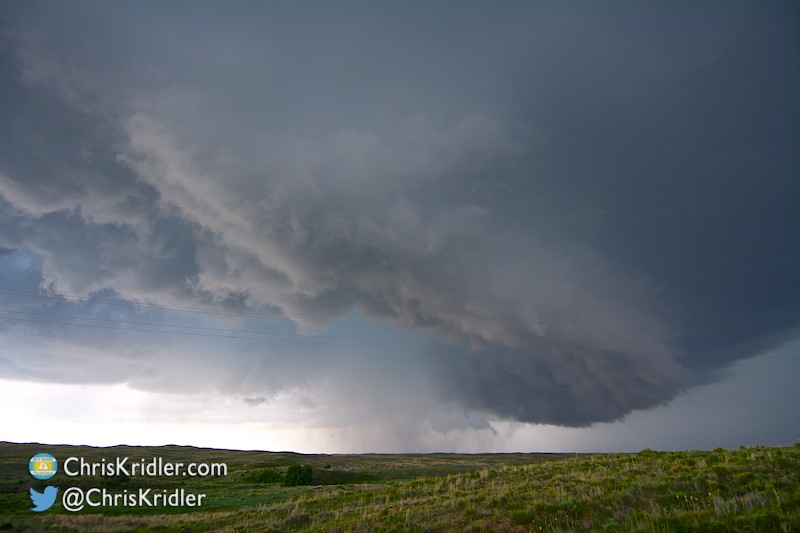
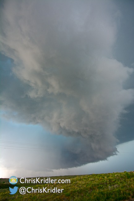
Incredibly, the storms not only went up there, but one tornado-producing storm there barely moved all day. At one point we just set up and watched it spin out one funnel after another.
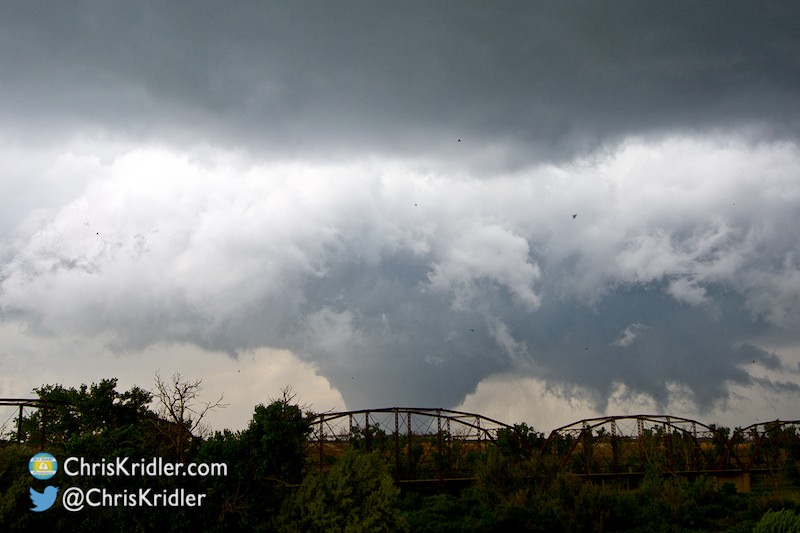
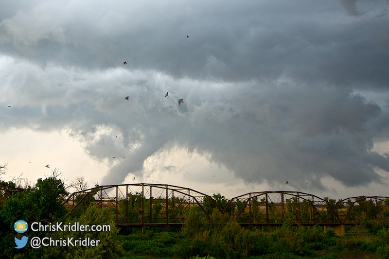
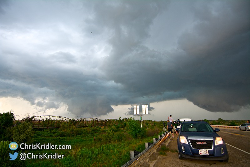
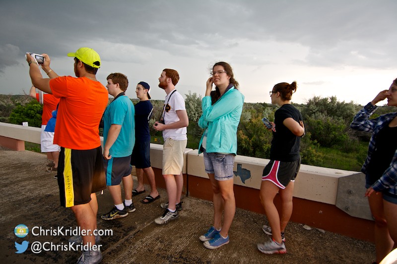
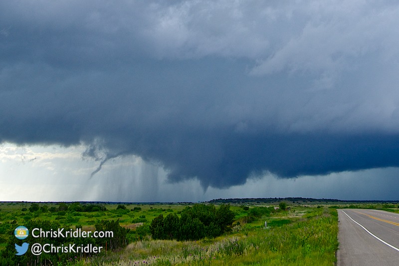
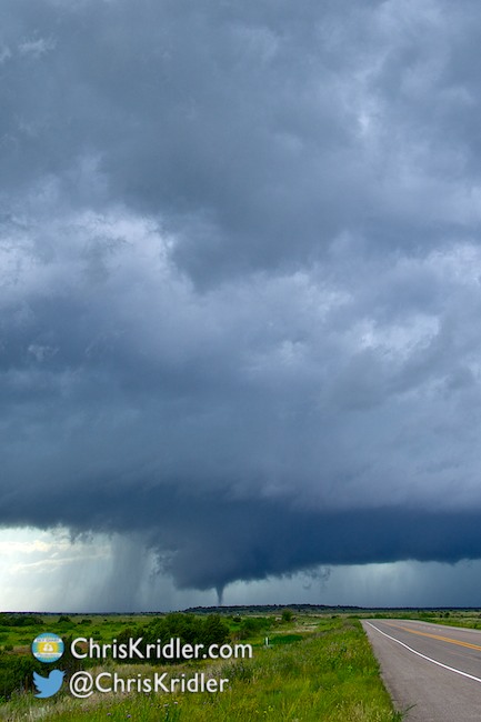
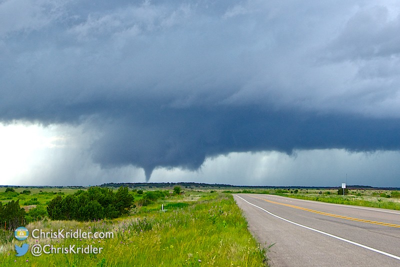
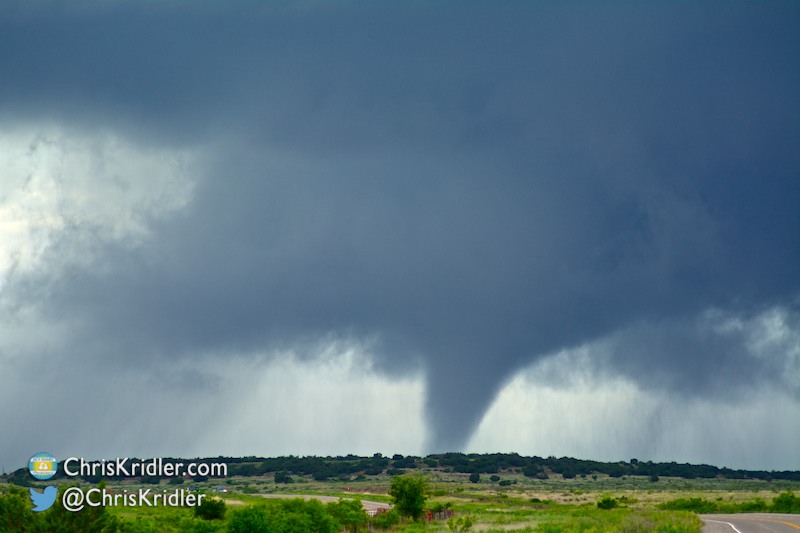
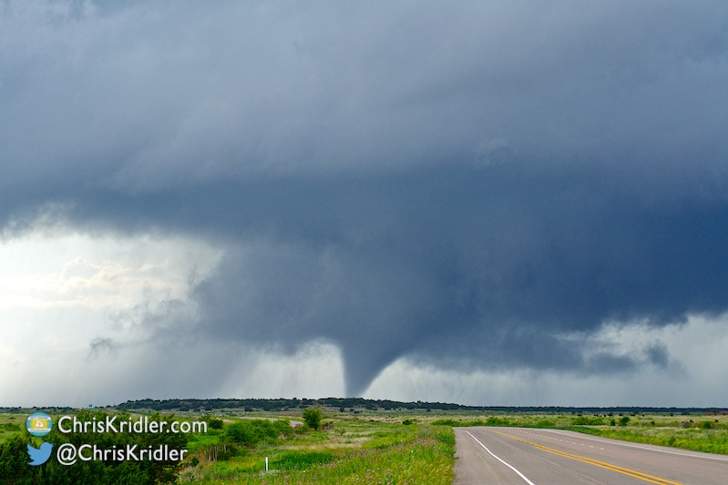
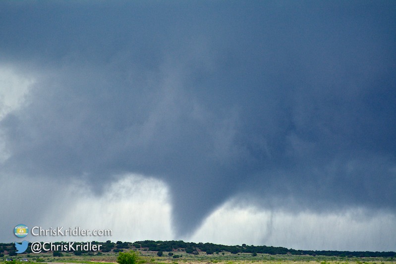
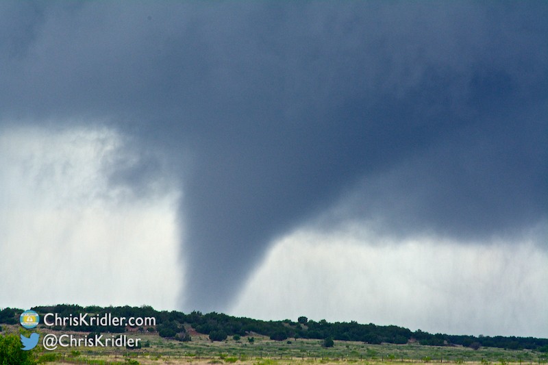
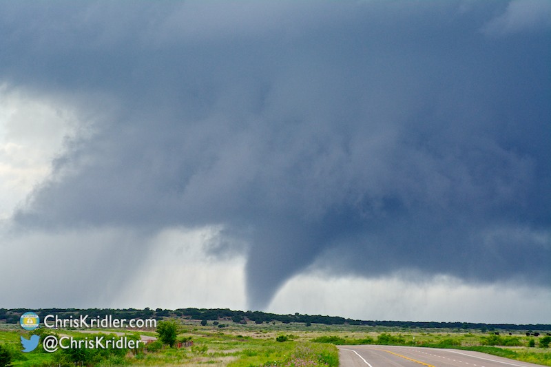
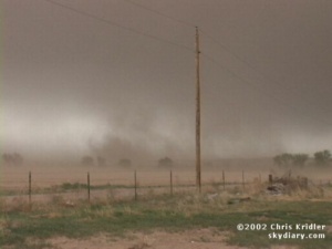
But the main show was the large tornado, which we all filmed from different angles. I watched it from the highway bridge over the river, filming the tornado as it churned beyond the wagon bridge that had always captivated my imagination in spite of its sometimes gloomy history. Unfortunately, the twister reportedly caused injuries.
Roll over each image to see the caption, or click on one to see a slide show with larger photos.





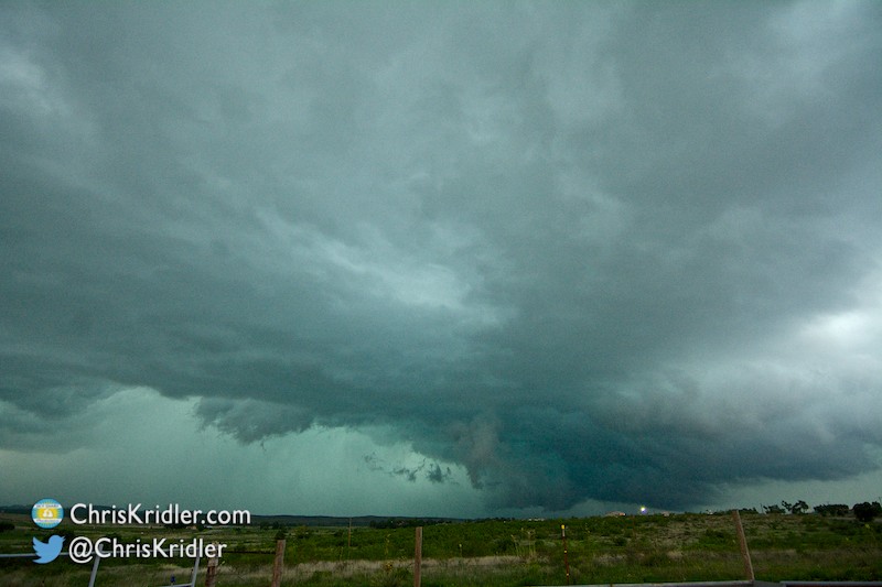
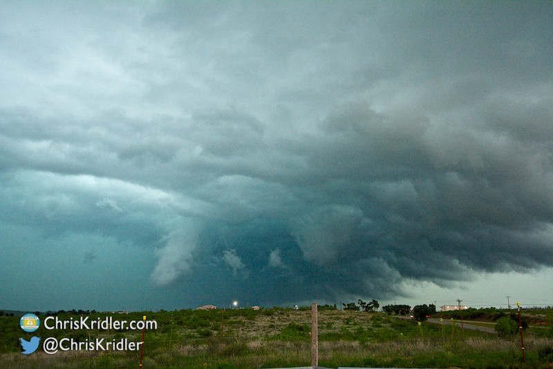
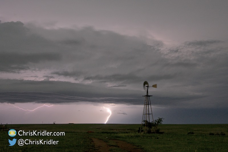
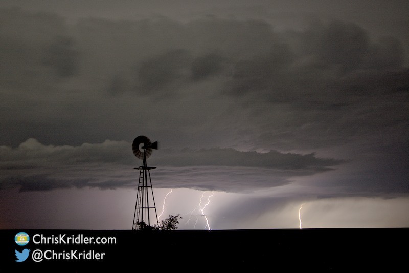





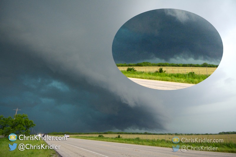
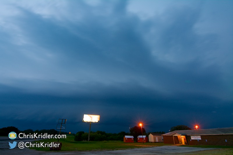
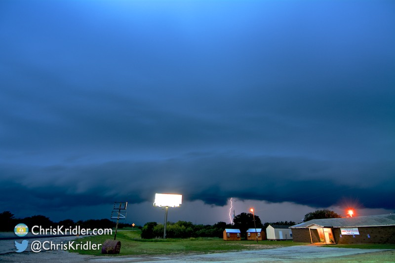
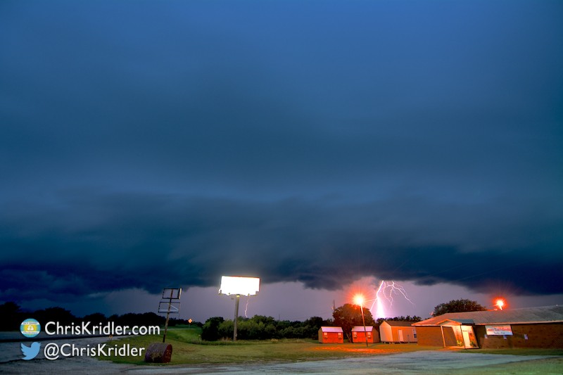








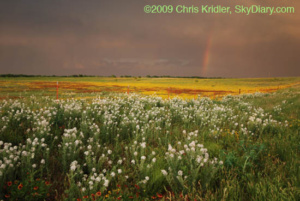
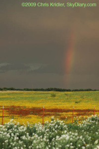
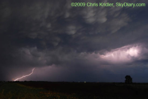
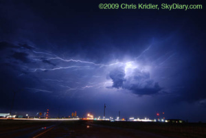
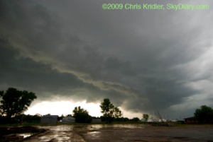
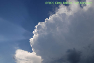
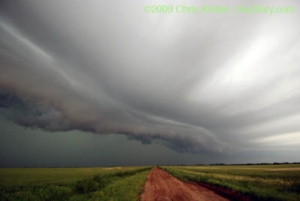
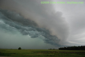
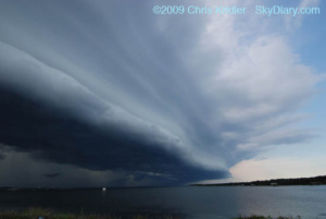
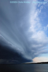
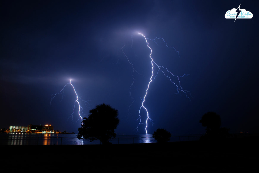
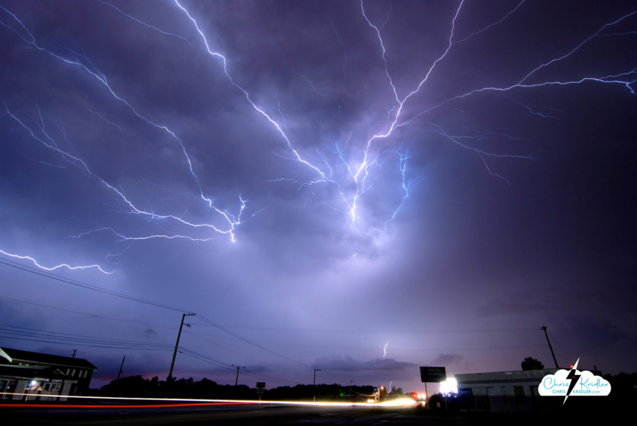
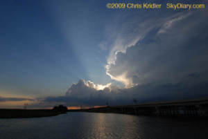
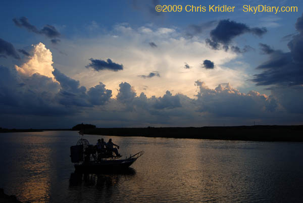
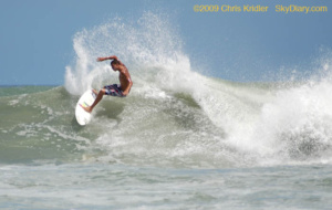
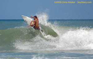
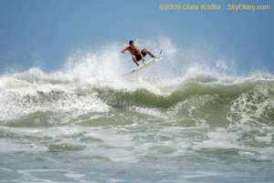
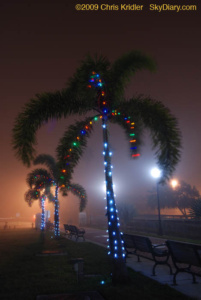 December 14, 2009: A fog event right out of a science-fiction movie rolled into Brevard County on Dec. 14. When I drove to the barrier island in the late afternoon, the fog seemed to be enveloping only the beach communities. Then it moved inland. I got just a few photos in Cocoa Village of the Christmas lights in the fog.
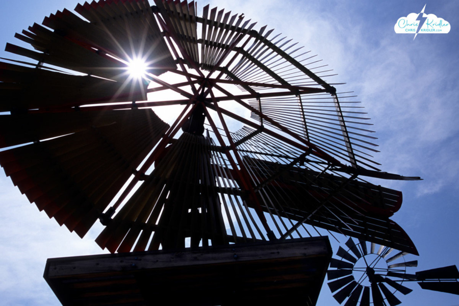
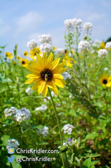
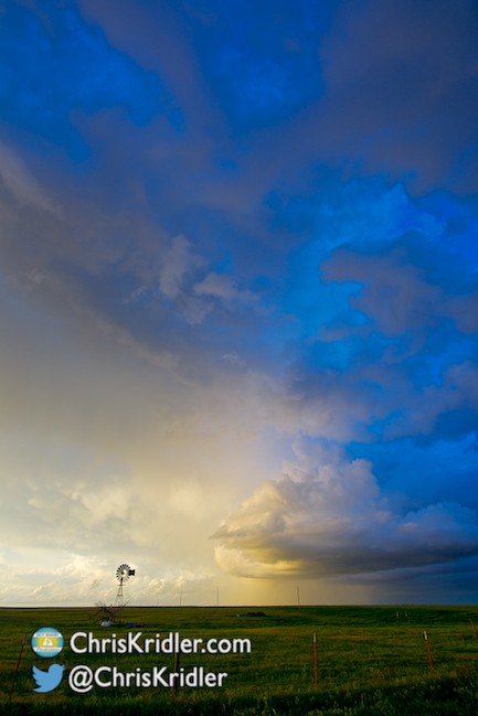
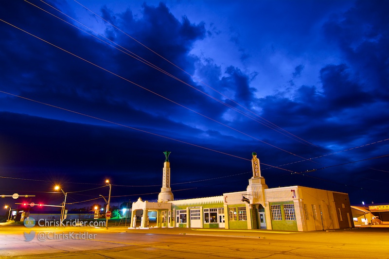
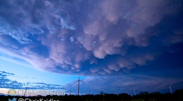
 On our way to the border, we stopped in Shattuck, Okla., where a mesmerizing park sprouts a number of old-time windmills, in a variety of designs. Every time the wind blows, there’s a haunting creaking and whispering from these beautiful mechanical trees, giant metal flowers that tower above the colorful wildflowers at their feet.
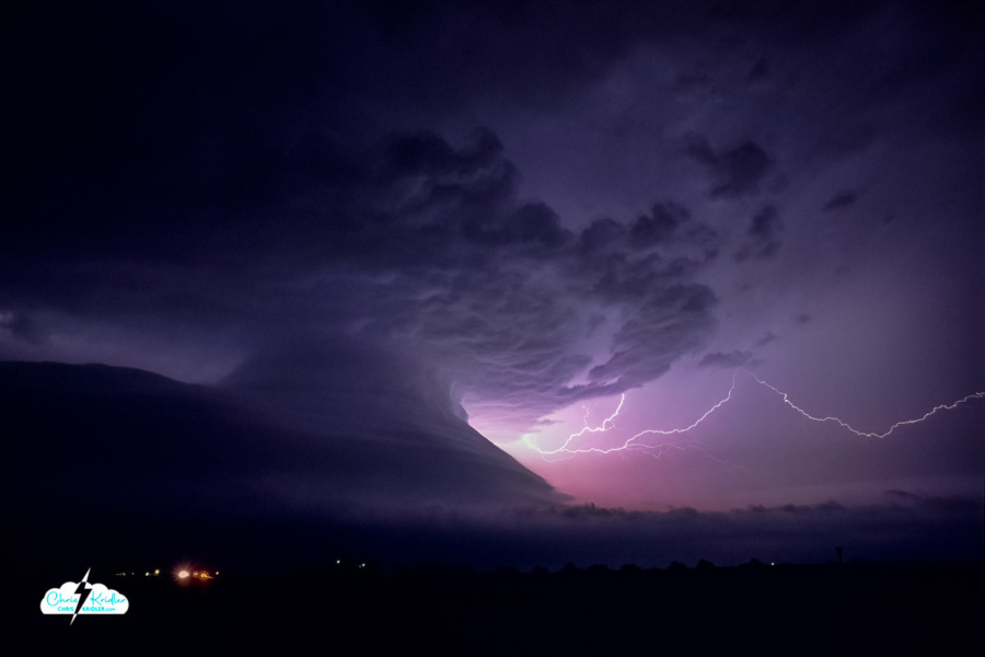
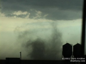
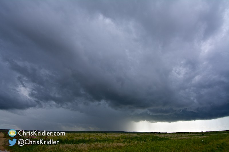
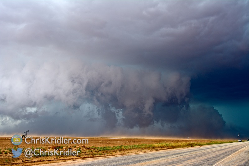
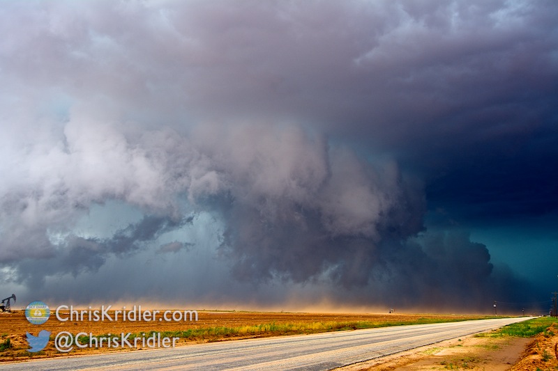
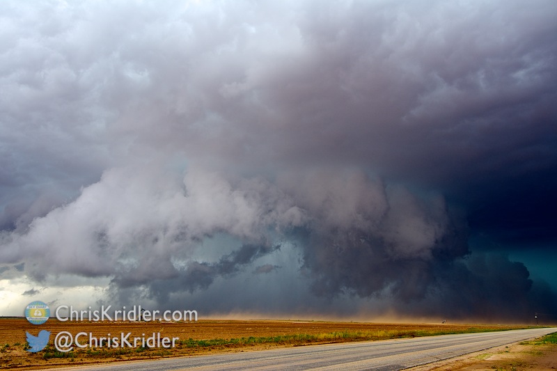
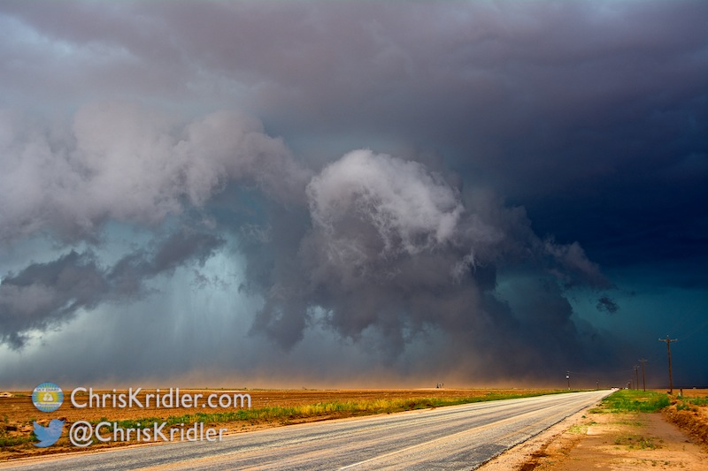
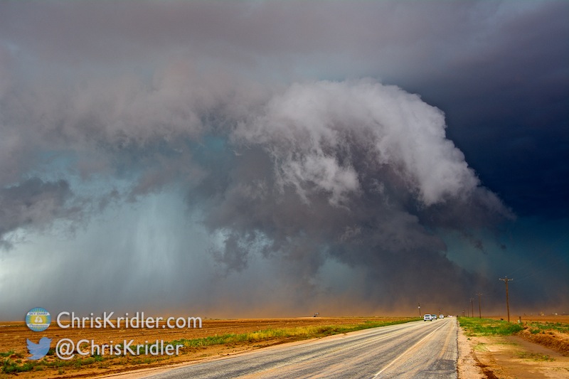
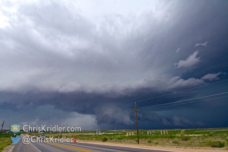
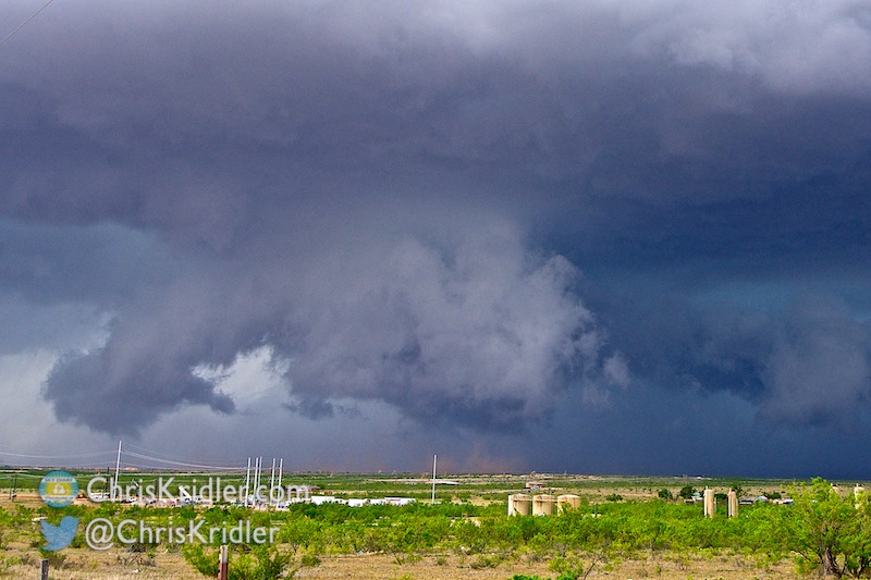
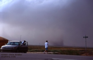
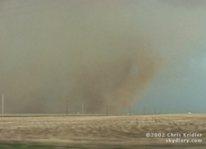 e were feeling cold outflow winds the whole time, and then, briefly, we got warm inflow, the sign that at least one part of the storm was still trying to stay alive by pulling in warm air from the east. About that time, a huge gustnado – could it have been a tornado? – spun up red dust in the field right next to us. The dust churned and rose, almost in a tube shape, to the edge of the storm clouds.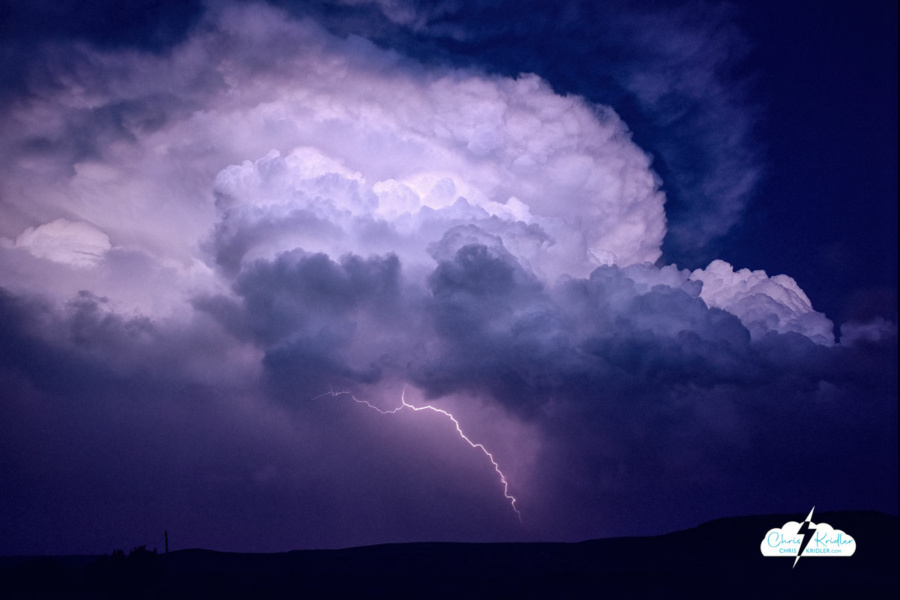
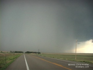
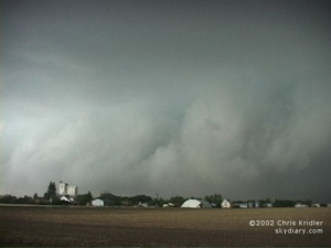
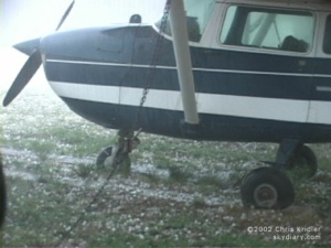
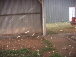
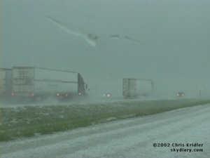
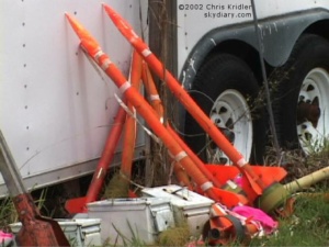
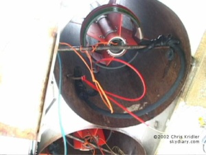
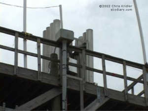
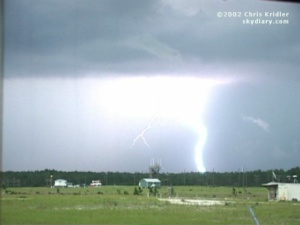
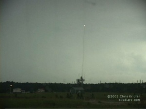
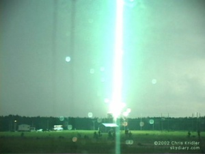
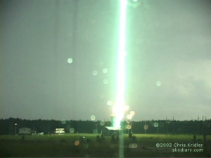
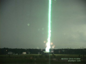
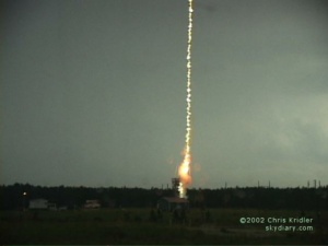
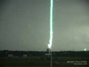
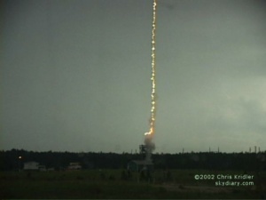
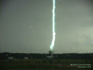
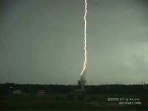
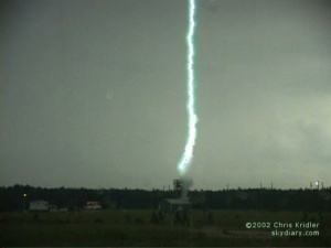
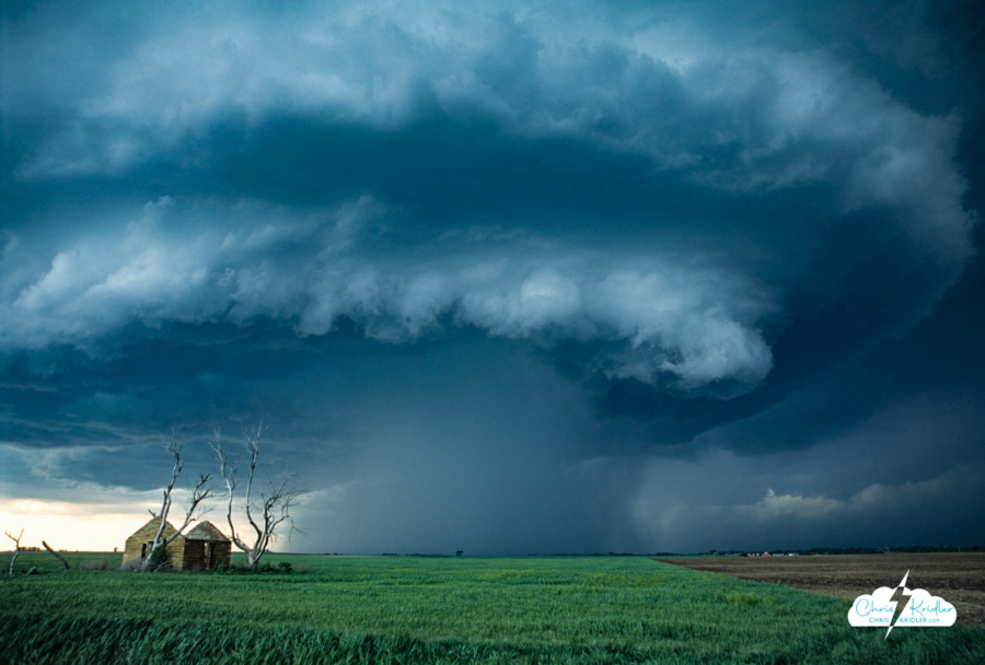
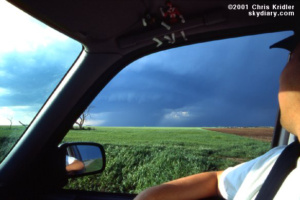
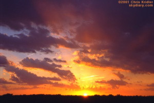
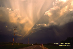

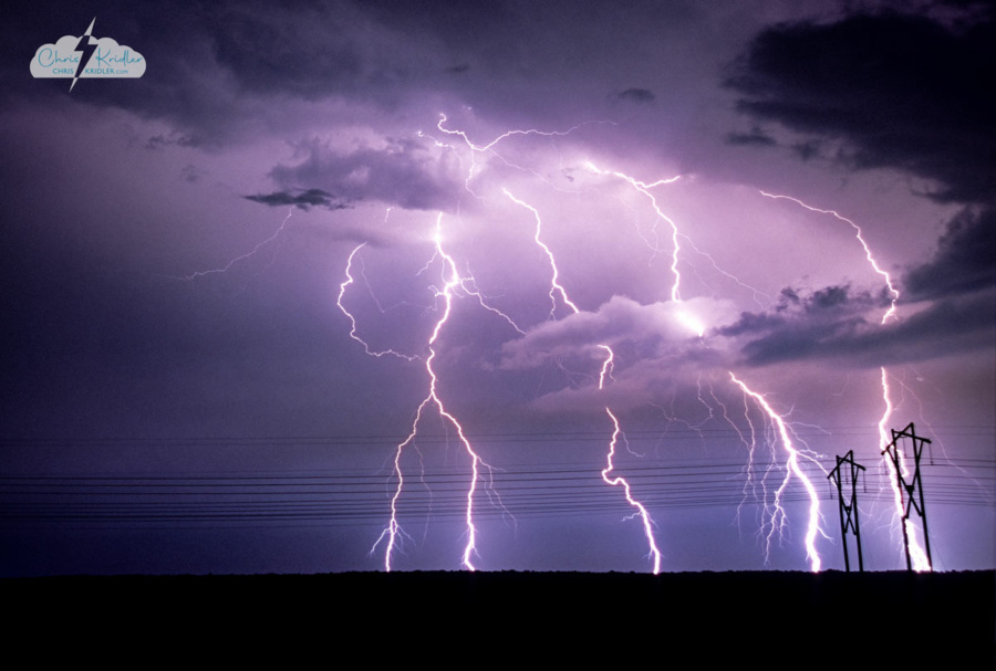
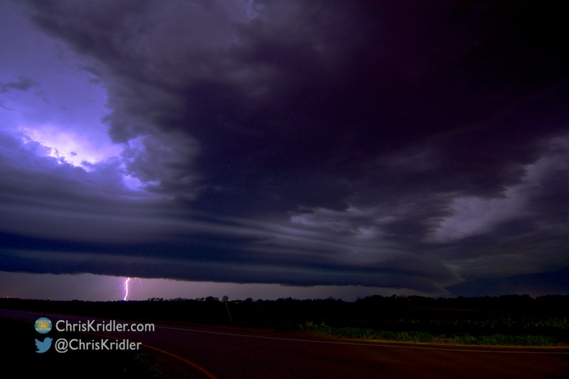
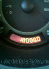
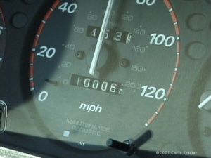 I last wrote on May 15. On May 16, we chased with George in Kansas, but didn’t see much … just some mushy storms and a few lightning bolts. And my car’s odometer turned over 100,000 miles somewhere near Liberal, Kansas.
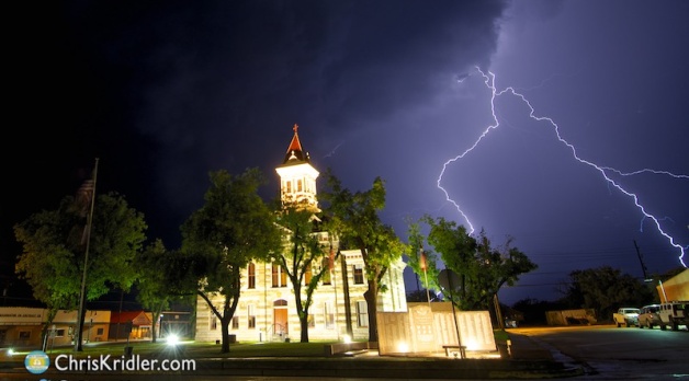
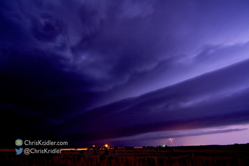
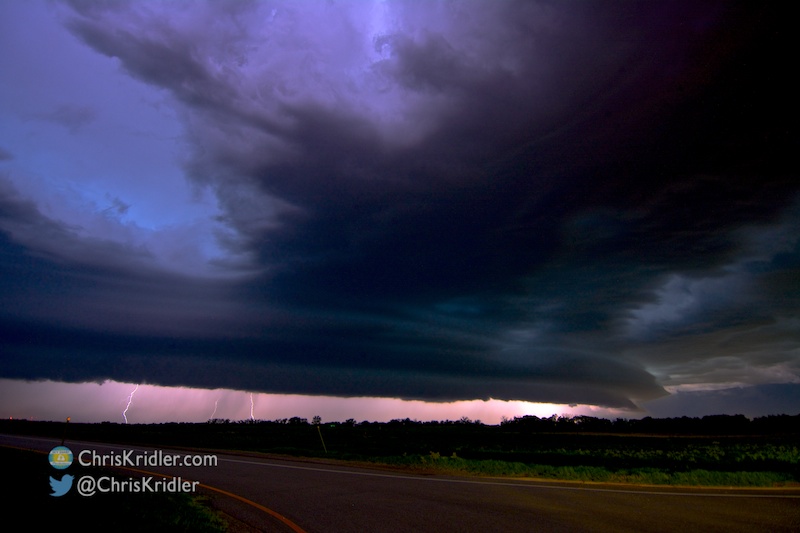
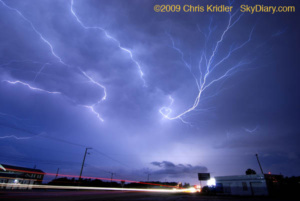
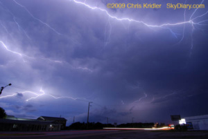
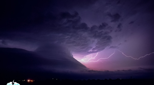
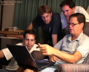
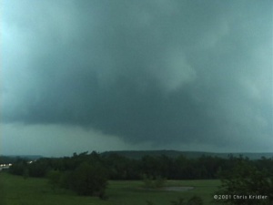 After a brief lightning show at our hotel in Denison, Texas, we got a little sleep and got psyched for Sunday, May 20. The Storm Prediction Center’s discussions of the day’s potential included all kinds of signs of doom, and the other data seemed to bear out the potential for tornadoes. We hovered on the Texas-Oklahoma border at a truck stop, checking data on the laptop, then headed into Oklahoma to Atoka in the early afternoon to get nearer to where the action was, in the PDS tornado watch box – or “particularly dangerous situation.” A quick Internet radar check revealed a couple of storms had already gone up north of us, on the boundary. We started heading that way.
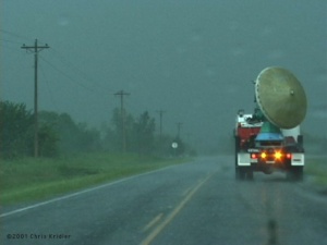 Ahead of us on Route 75 were two Doppler on Wheels trucks. We took this as a good sign, but the circumstances were not good. Chasing in eastern Oklahoma is challenging, to say the least. There are massive hills and lots of trees. It’s very difficult to see storm structure. And rain makes it even worse, and boy, did we get rain – but not yet.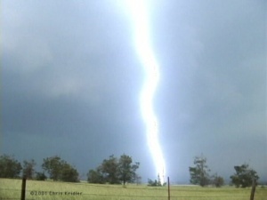
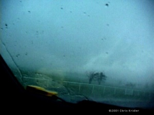 Certainly, we were in a tornadic circulation, if not just south of a tornado, and my adrenaline was high. It’s the first time I ever felt truly in danger from a storm. In town, the sirens were screaming. Some guy was poking along ahead of me as if he was out shopping for flowers. I flashed my lights and he moved over. At a red light, I stopped, made sure no cars were coming, then went through with my blinkers on. Dave was aghast. I said, “It’s a #&%*$ tornado, Dave, I’m running the red light!” As we pushed through town, rain curtains ahead of us were clearly rushing from right to left, wrapping around the area of rotation. We were in the “bear’s cage,” no doubt about it.
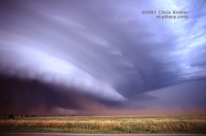
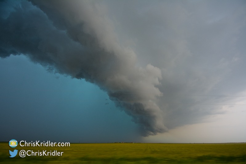
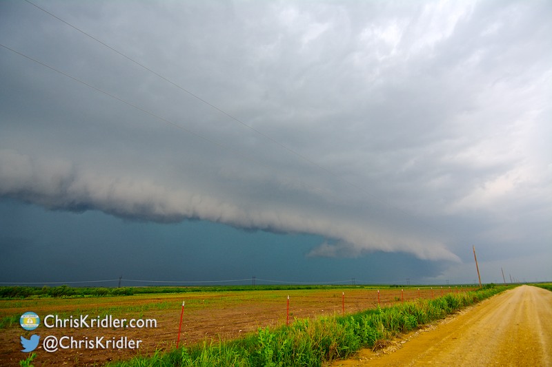
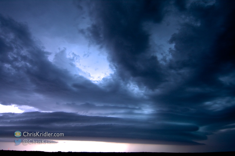
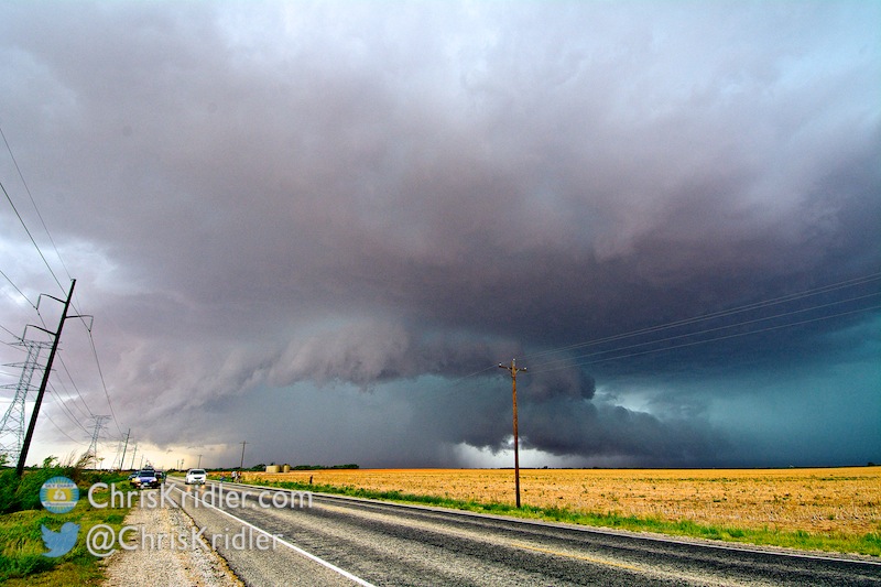
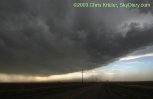
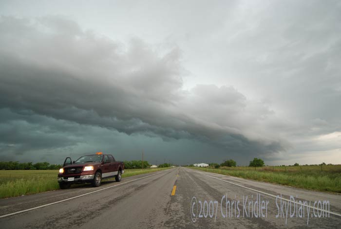
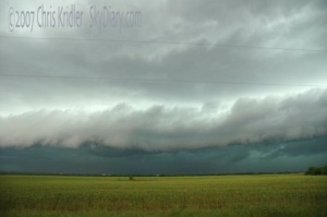
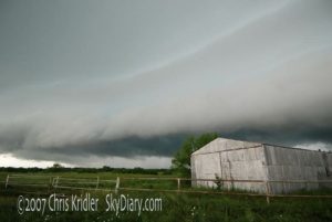
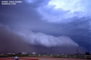
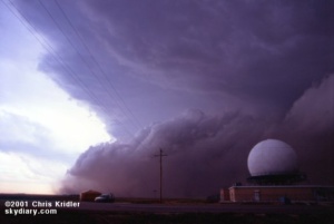 May 27 was a blast, or, you might say, a sandblast. Dave, Bill and I met up with Steve Sponsler and headed up into Kansas. We had hopes for supercells, but most storms were going up early and beginning to merge in a messy line. At a truck stop in Sublette, we looked at radar images and weighed our options as the sky outside became more and more ominous. By the time we headed north, it was too late to get individual cells … the whole mess had merged into a great line, a dramatic shelf cloud rolling toward us, kicking up brown dirt underneath it as it went. We stopped by a radar dome and got video and stills as it approached. Then the first dust hit. It was a haboob, a Dust Bowl storm, a roaring animal.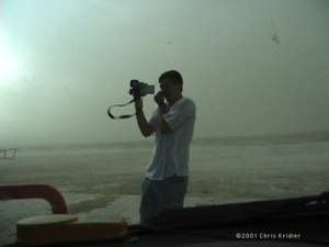
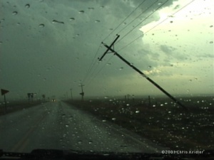
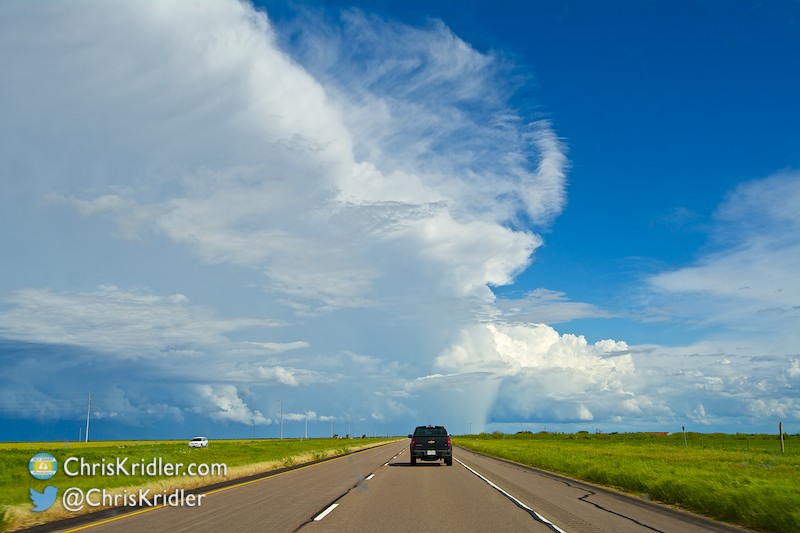
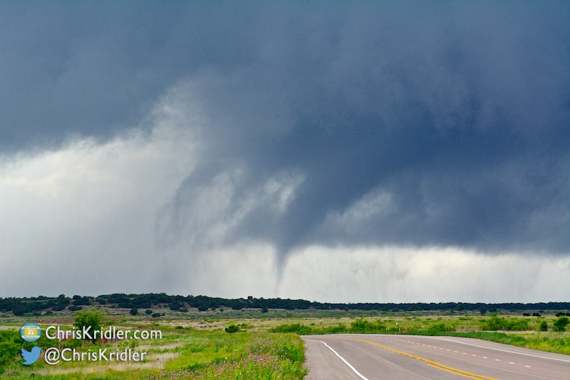
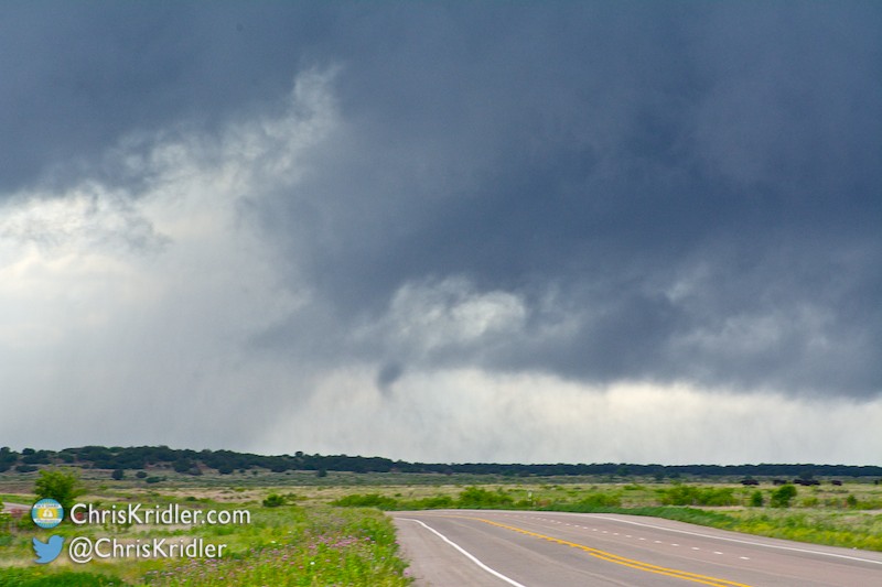
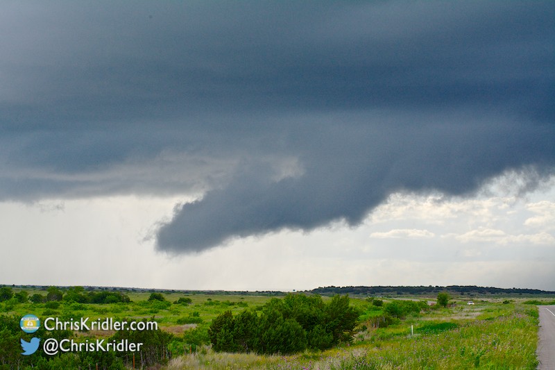
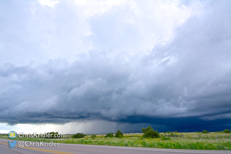
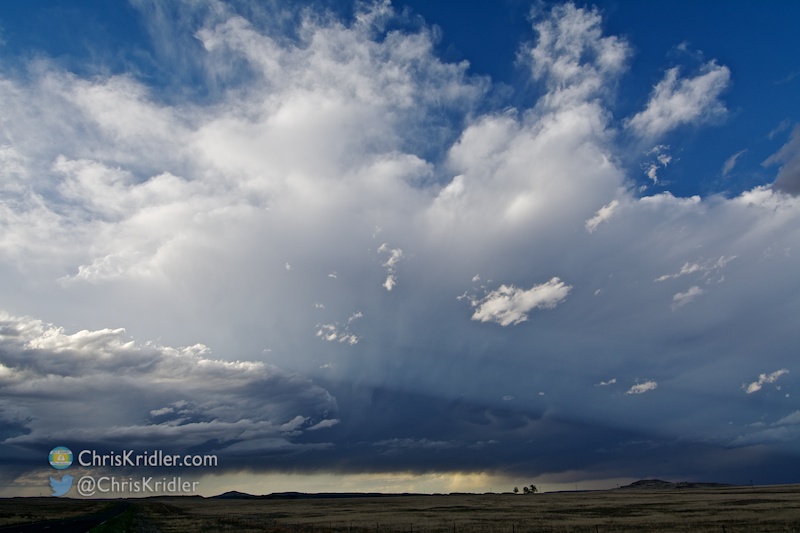
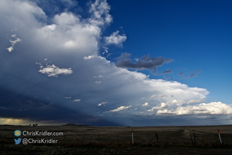
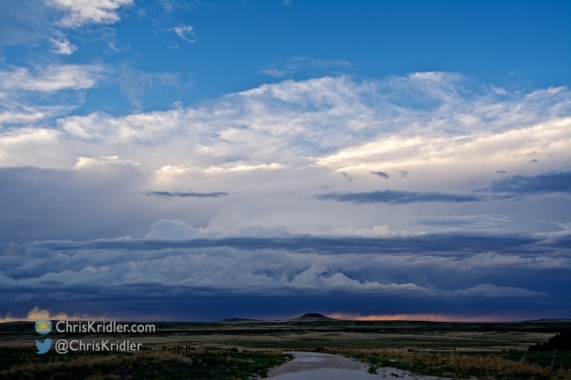
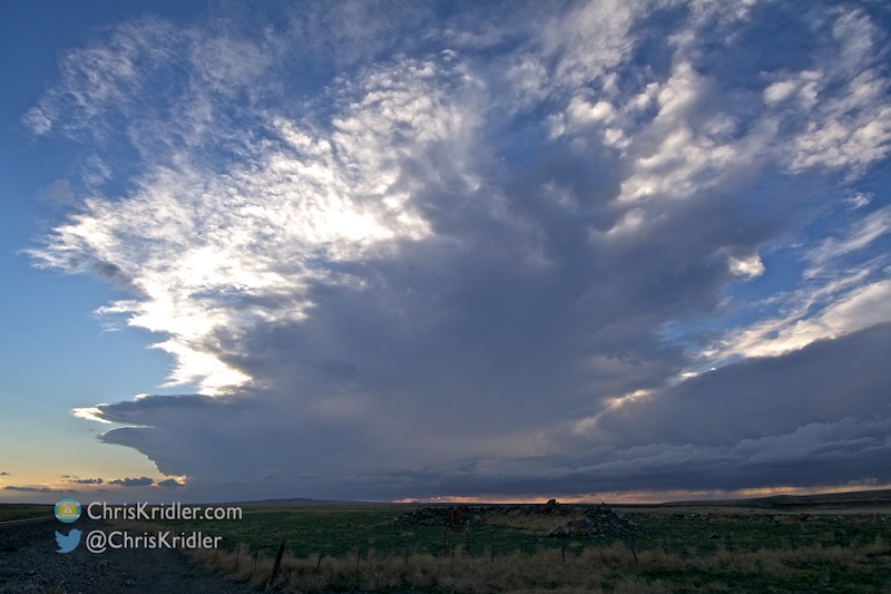
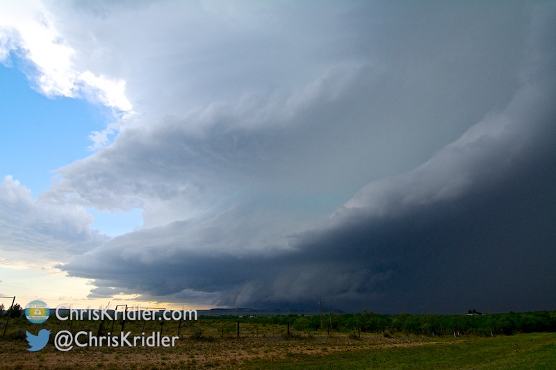
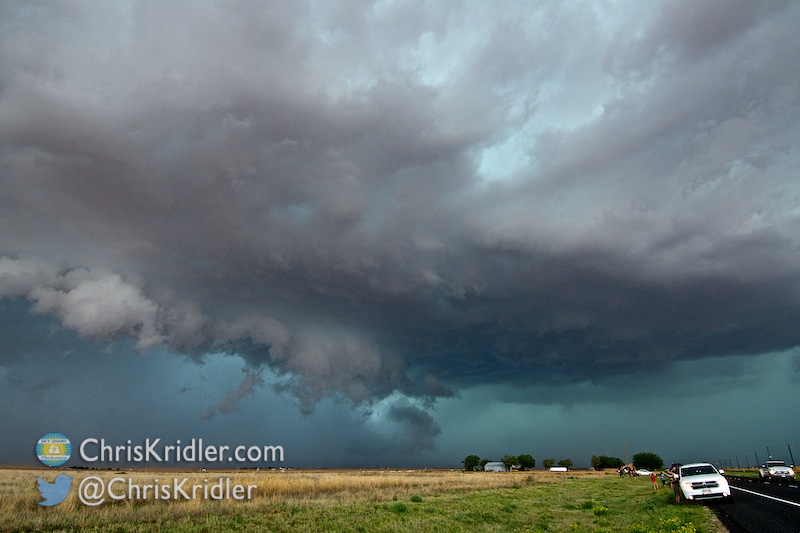
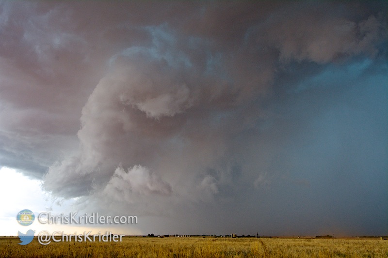
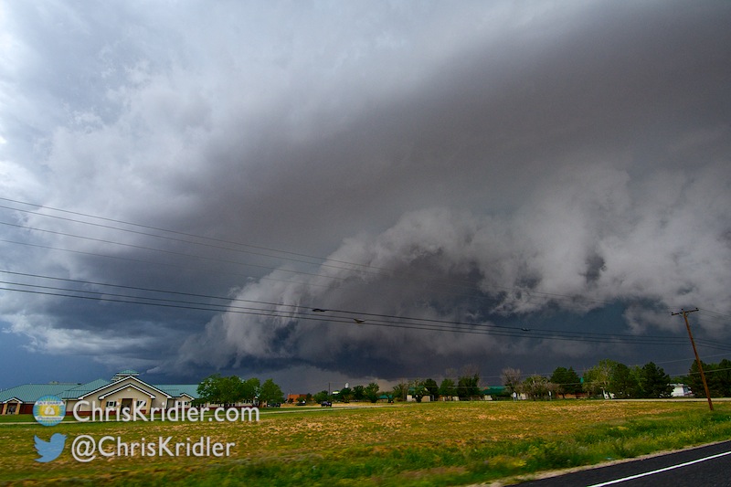
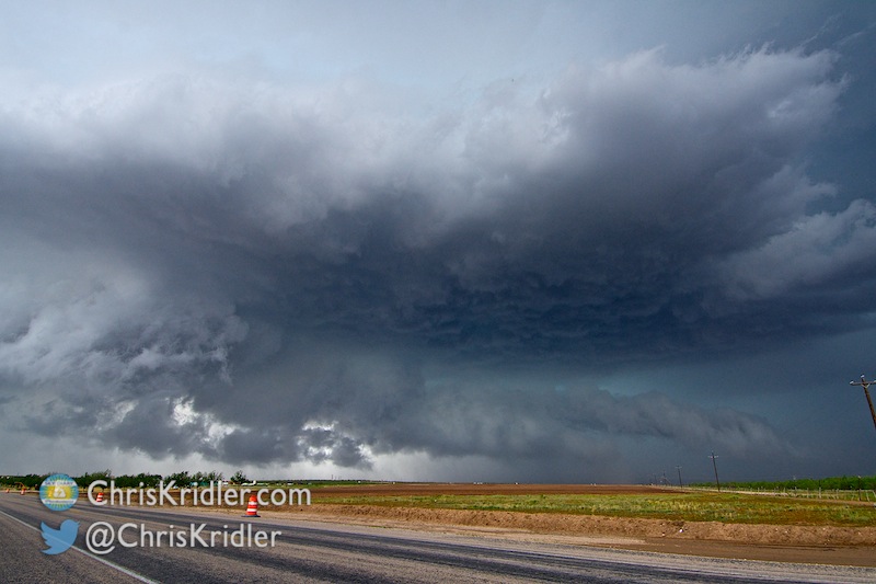
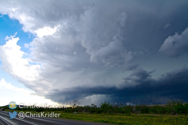
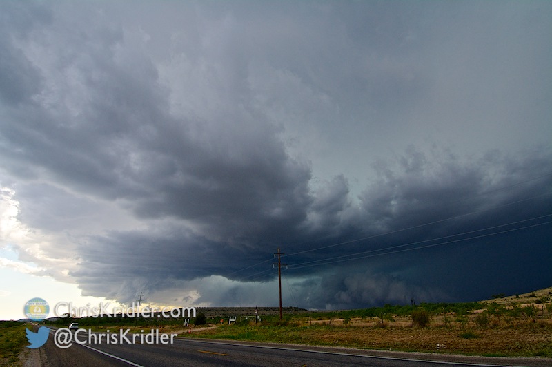
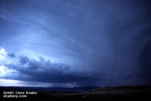 Upslope storms – the kind that form on the higher elevations near the mountains – seemed the best bet for May 28. The phones were out in the hotel, which was a very plush Super 8, I might add, so we got the basics on the day’s outlook from Jay Antle and began meandering west. We met up with Ed Roberts from Kansas City and some other chasers in Guymon, Oklahoma, who kindly shared some data files they’d pulled, and we headed farther west. In Dalhart, Texas, a nice woman at the Holiday Inn Express let us plug in for a few minutes to get more information, and we headed for Clayton, New Mexico. If you’re counting, that’s three states already.