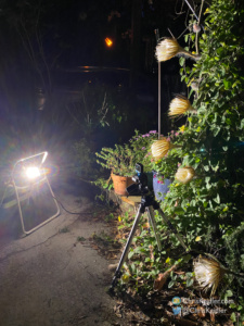
My simple setup for shooting the timelapse video includes an LED work light and a GoPro on a tripod.
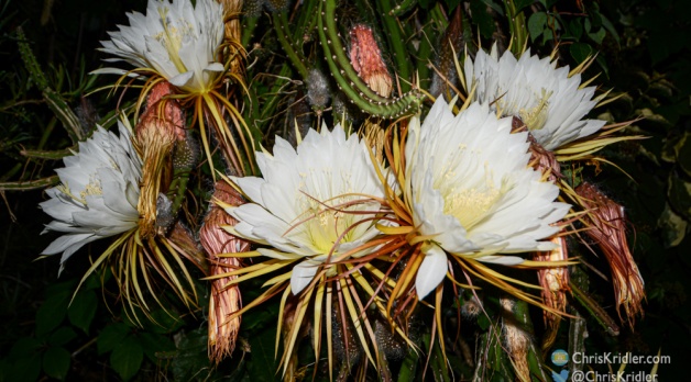
Almost every year, I try to capture the blossoming of night-blooming cereus flowers in a timelapse video. These cactus vines produce dinner-plate-size flowers in late spring where I live — central Florida — and each flower blooms just once. The aromatic flower begins to open at sunset and closes at dawn.
Some nights, several flowers bloom at once, making a spectacular display. The cactus vine grows up one of our palm trees, and I’m also trying to get it started on our oak after seeing pictures of an oak in Orlando draped with the giant flowers.
For the timelapse this year, I used a GoPro Hero 8 in timelapse mode. I lit the flowers with a simple LED worklight.
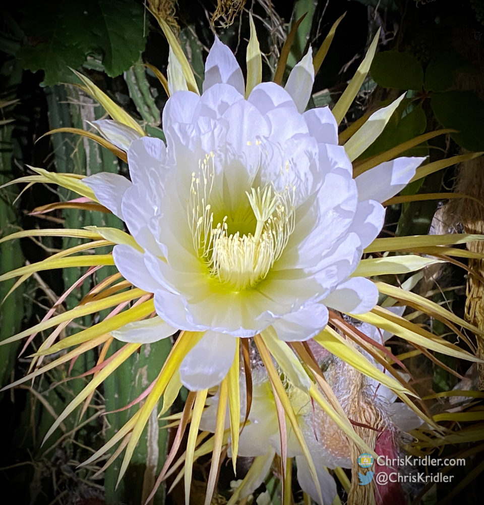
Night-blooming cereus produce flowers the size of dinner plates.
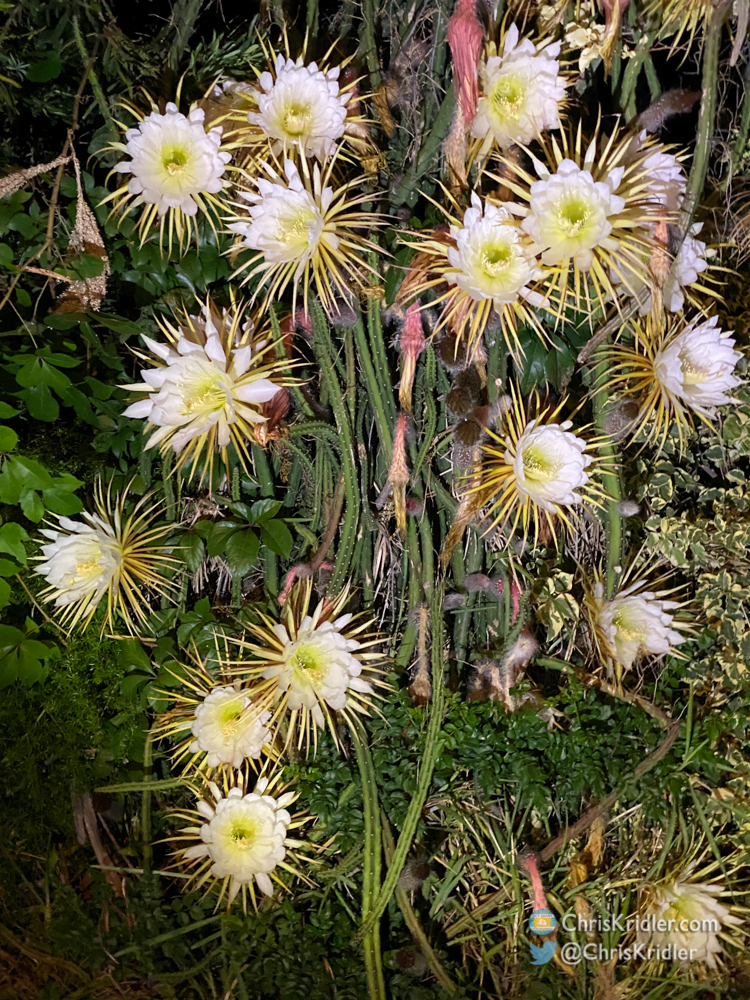
The vines can be covered in blooms, but each flower pops just once.