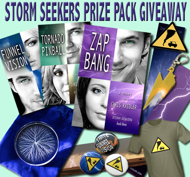
Zap Bang, the third novel in the Storm Seekers trilogy of storm-chasing adventures by Chris Kridler, will be published Sept. 16, and to celebrate, Sky Diary Productions is offering a giveaway! The goodies include:
- Signed copies of the paperbacks of FUNNEL VISION, TORNADO PINBALL and ZAP BANG
- Matching bookmarks
- Captured lightning disc – a 2″ Lichtenberg figure created inside a piece of clear acrylic by a 5-million-volt particle accelerator! (with velvet bag)
- Three 1″ Storm chaser/Funnel Vision pins
- Flashing/thundering lightning bolt keychain
- Storm chaser T-shirt from the Sky Diary Storm Stuff Store (choice of colors)
- Storm chaser decal
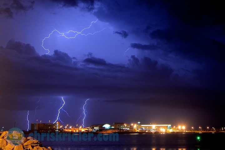
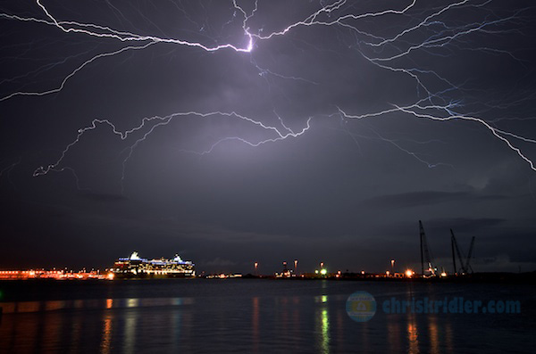
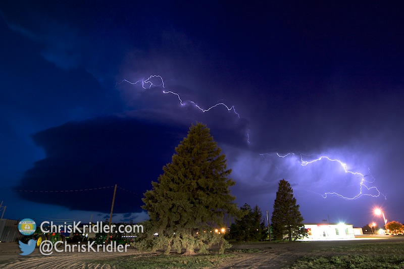
The captured lightning is completely cool, and you’ll read about it in Zap Bang. The giveaway ends on Sept. 22, so get in your entries now!


")