I chased today with Dave Lewison, Scott McPartland, Greg Stephens, Dayna Vettese and Brad Rousseau, Bill Hark, Robert Balogh, Mark Robinson and his crewmate Jaclyn Whittal.
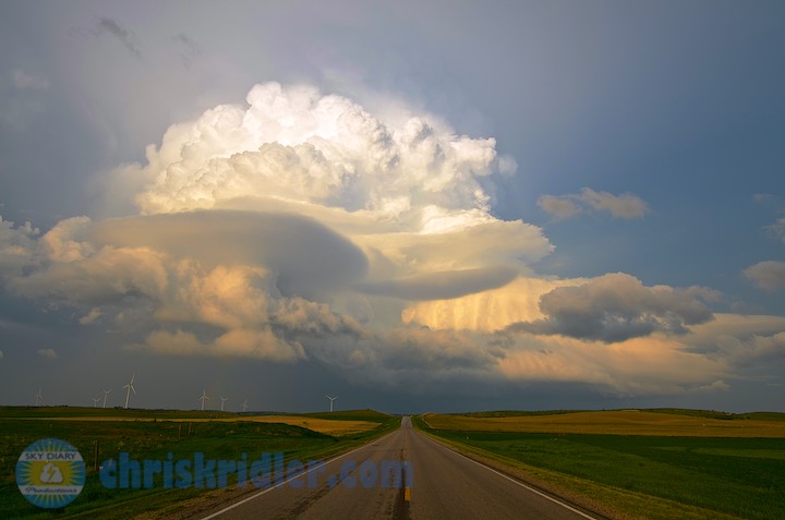
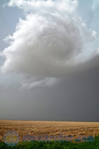
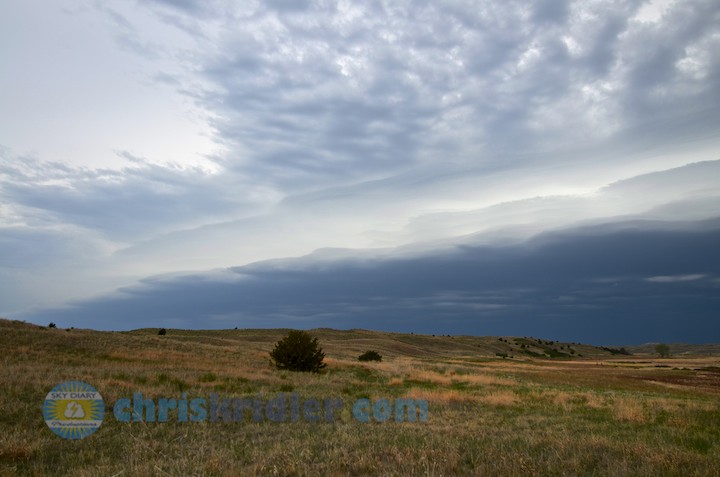
We started the day in Norman, Oklahoma, and targeted just west of Oklahoma city at El Reno. There was a huge amount of potential for severe storms and strong tornadoes. By 5 p.m., three storm cells had fired and expanded rapidly just west of our I-40 exit at El Reno, so we popped west to check them out – then just as fast went back to where we’d been.
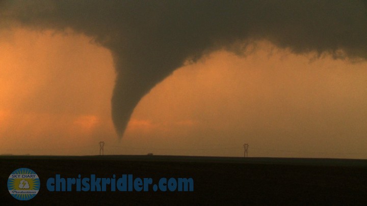
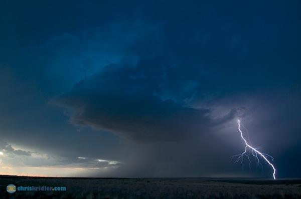
One explosive cell produced a wedge tornado that killed several people, including three storm chasers, and emphasized the hazards of chasing anywhere near a metro area. The tornado was rated EF5 (radar measured 296 mph winds) with a record width of 2.6 miles. (Later, it was downgraded to EF3 based on damage alone, despite wind measurements.)
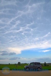
The captions of my photos tell what it was like to be chasing that day. I thought I was safe – and then I wasn’t, as I got caught up in a terrifying traffic jam in the path of a mesocyclone.
Please also see my extensive blog post concerning the events of this day: Storm chasers, media, public all had role in drama of El Reno tornado
Note: This report has been transferred and updated from my old Sky Diary site.