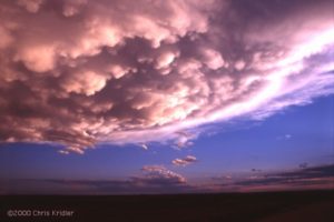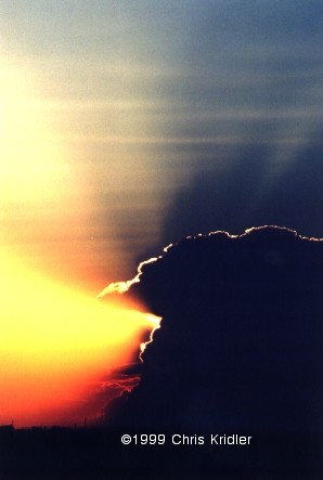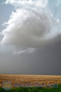
There it goes, a cloudy galaxy. Photo by Chris Kridler, ChrisKridler.com
I chased today with Greg Stephens, Dayna Vettese and Brad Rousseau. We started the day in Liberal, Kansas, and targeted northeast Colorado and the dryline as a trigger for storms. It took a while for them to get going, but we saw some extraordinary motion and lightning.
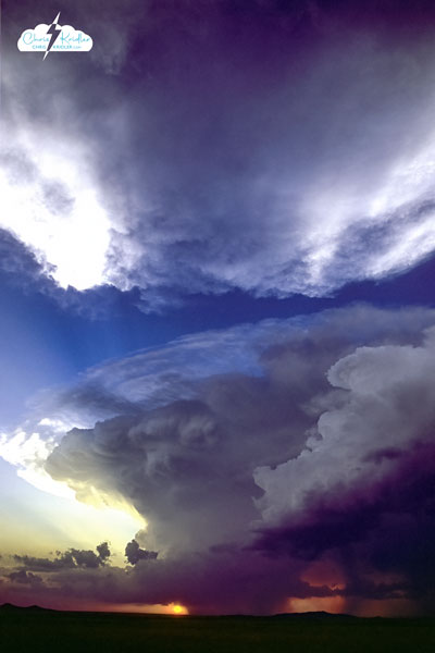
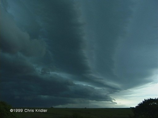
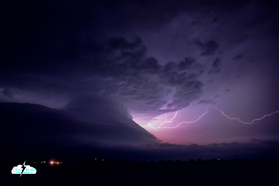
This storm, which we chased from northeast Colorado into Nebraska, was filled with high-based rotation, shear funnels and lightning and eventually was severe- and tornado-warned. But the “cinnamon bun” swirl above our heads was its most beautiful and entrancing moment. The video includes time-lapses of it.
Roll over a photo to see its caption, and click on any of the pictures to start a slide show of larger images.


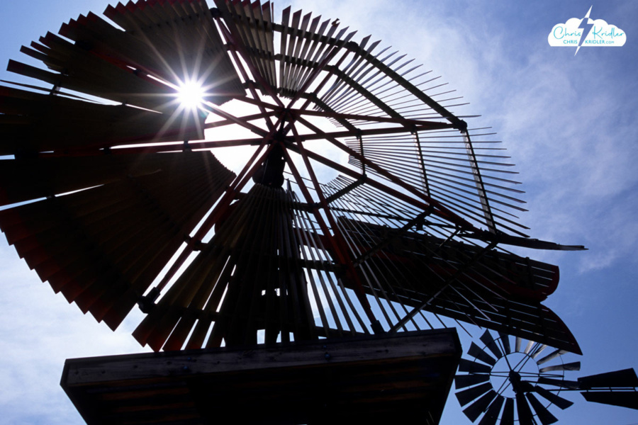
 On our way to the border, we stopped in Shattuck, Okla., where a mesmerizing park sprouts a number of old-time windmills, in a variety of designs. Every time the wind blows, there’s a haunting creaking and whispering from these beautiful mechanical trees, giant metal flowers that tower above the colorful wildflowers at their feet.
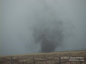
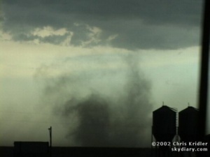
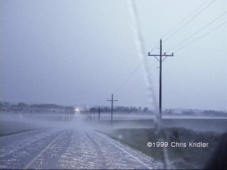
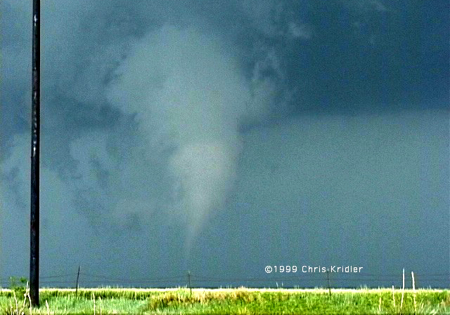
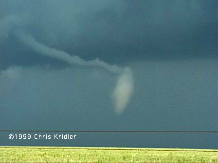
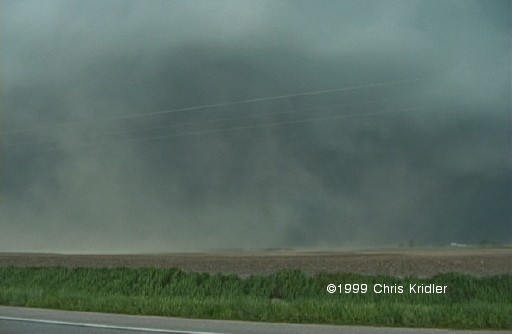
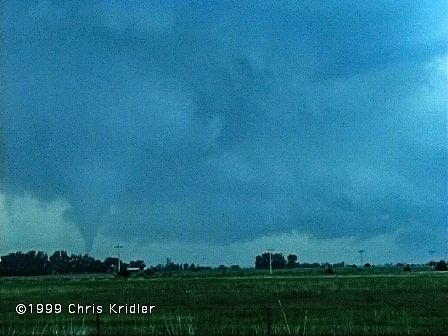
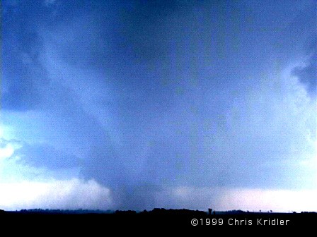
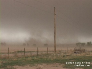
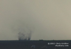
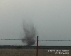
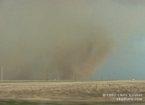 e were feeling cold outflow winds the whole time, and then, briefly, we got warm inflow, the sign that at least one part of the storm was still trying to stay alive by pulling in warm air from the east. About that time, a huge gustnado – could it have been a tornado? – spun up red dust in the field right next to us. The dust churned and rose, almost in a tube shape, to the edge of the storm clouds.
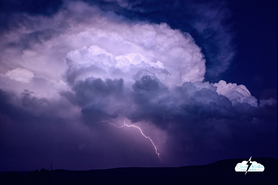
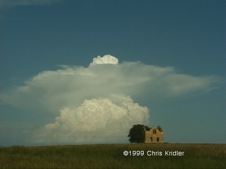
 Last Thursday, Dave and I targeted northeast Iowa. Low pressure was moving into the area, which would cause the surface winds to come from the south or southeast, while upper-level winds were streaming in from the west. The result: shear in the atmosphere, meaning if a storm went up — and it was likely where the warm and cold fronts met — it would probably rotate.
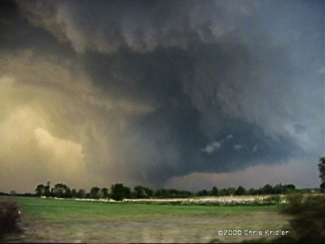
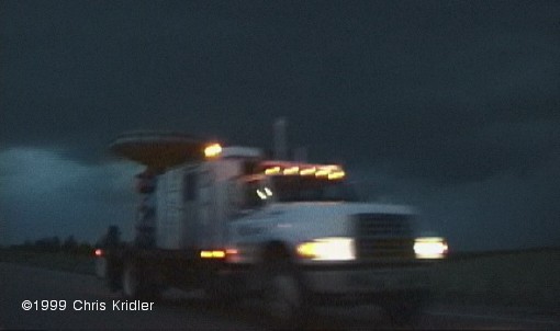
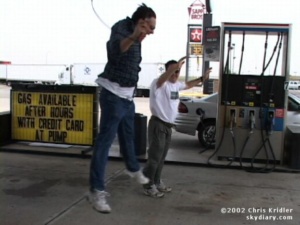
 Going backwards in time to May 16 — the day before — we played what seemed iffy chances for supercells in western Nebraska. We thought the action would be in extreme western Nebraska or even eastern Wyoming, especially after checking data and running into chasers Keith Brown and David Fogel (again in Ogallala). As we zoomed west, it became clear that this was going to be a major chaser convergence. Translated: A circus of idiot drivers. Now, obviously, I don’t think all chasers are irresponsible, but there are definitely chasers who are giving the rest of us a bad name. They are also becoming incredibly ostentatious, with loads of silly equipment on their roofs, including (in my opinion) useless marine radar units. What, are they going boating in their Ford Expeditions?
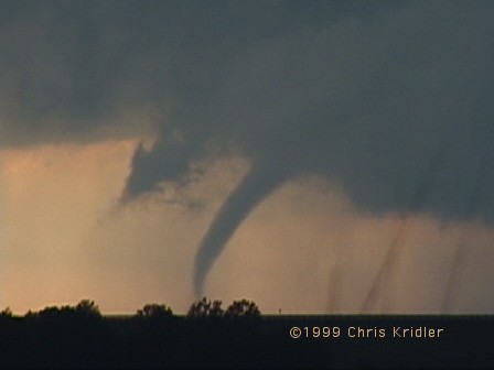
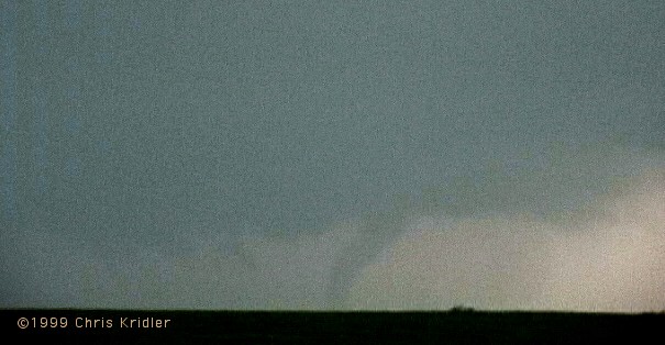
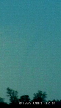
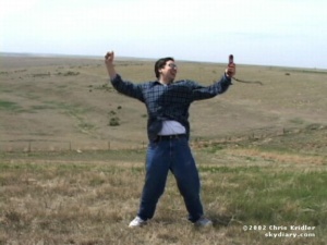
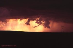
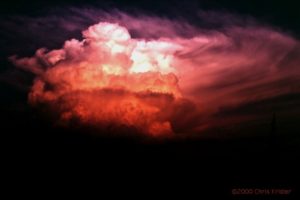 We saw the storm from when it was a pup, a little towering cumulus. It exploded and soon became a big bad dog — isolated. Huge. Multiple overshooting tops. But it was SCREAMING southeast, way ahead of us. It zoomed into Arkansas (Richard left us in mid-chase because of the hopelessness of the pursuit), and we had to listen to hail reports and spotter-reported tornado warning(s) as we tried to pursue it. We ended up in Arkansas, just east of Fort Smith, with a photogenic bomb that formed on its backside — very pretty, though it croaked at sunset. We met David O. Stillings, the Lightning Stalker (that’s just how he introduces himself, too, at rat-a-tat speed) and Jason Persoff, both Florida chasers traveling with a Pioneer Productions TV crew, as well as a couple of Arkansas chasers — Jason Politte and Scott Blair. We’re all part of a strange, little mobile community that keeps meeting on the grassy banks of farm roads in the middle of nowhere.