
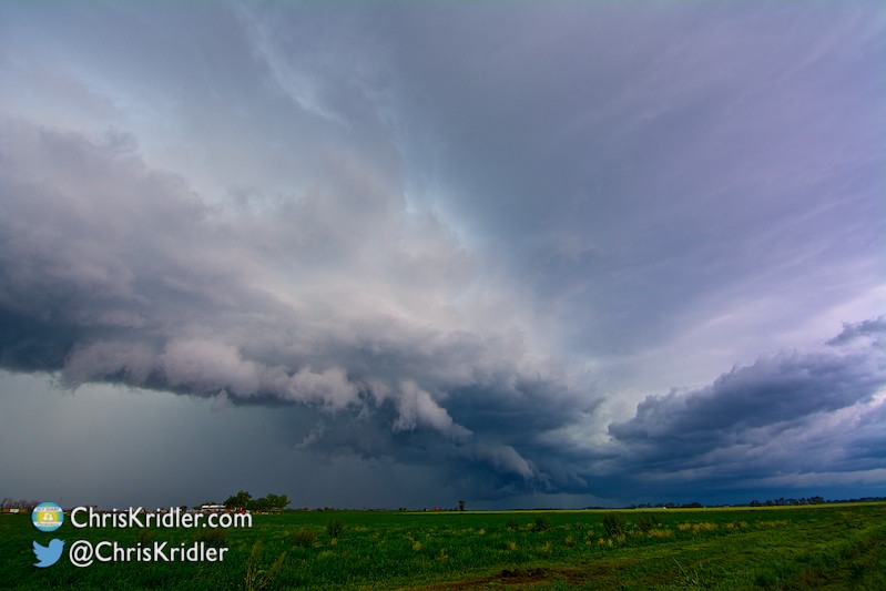
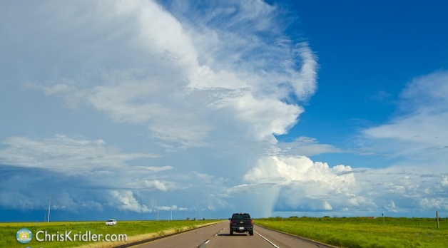
This year was challenging personally but was the most impressive I’ve ever had when it came to chasing storms. Tornado Alley lived up to its name in a dramatic fashion during my 20th season, and though Lightning Alley wasn’t particularly productive, a once-in-a-lifetime capture at home in Florida made the lightning season pretty exciting, too.
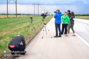
I’ve wrapped up some of my favorite storms and skyscapes of the year – along with a handful of rocket launches – in both a highlight video and a slide show set to music. (You can see more of my storm photos and buy prints in my official weather galleries, and find chase accounts on the Sky Diary pages.)
Thanks for watching. A peaceful new year to you all.


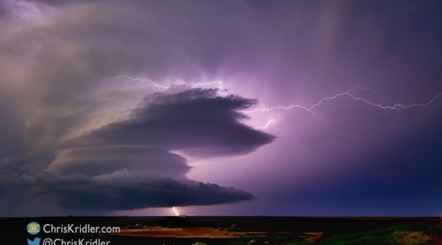


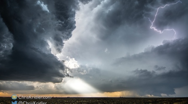
 and lightning crawler.")


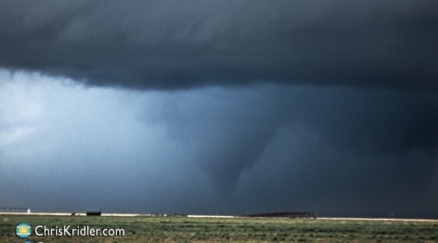


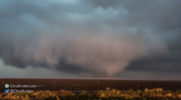
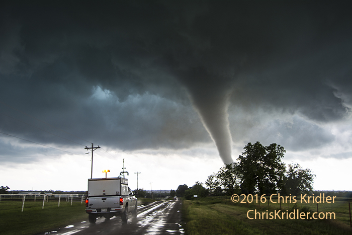
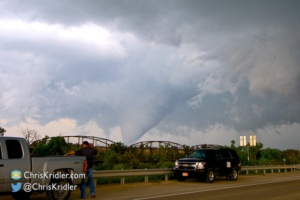
 of the cone in the rain.")


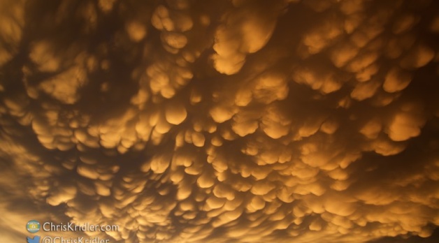
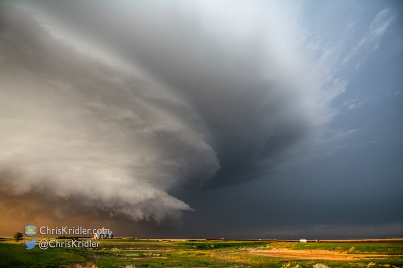
.")
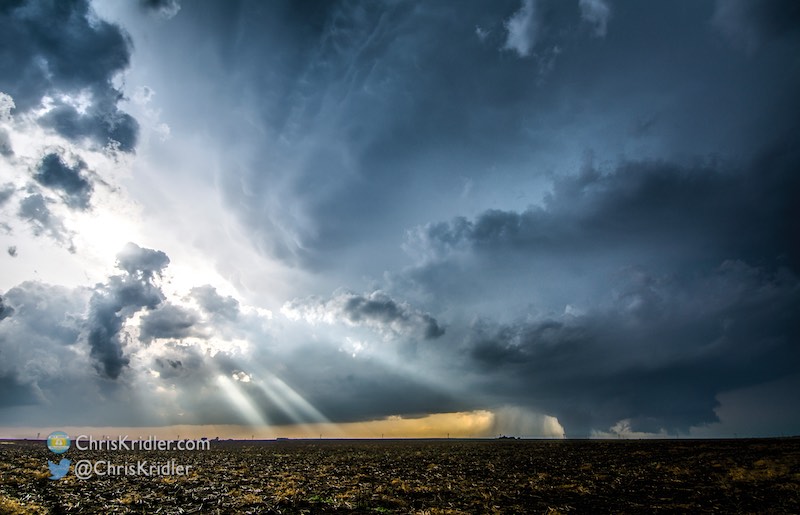
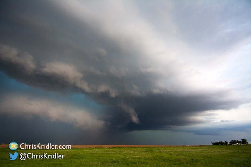
.")


.")


