On some chases, you get the bear. And on other chases, the bear gets you.
You could say Alethea Kontis and I got the bear on May 30 as we chased in New Mexico with Dave Lewison and Scott McPartland. We were northeast of Clayton, and the guys got ahead of us as I spotted a critter climbing on a power pole. It appeared to be a young bear, and despite its blond hair, a young black bear. For safety, we stayed in the car as we stopped and filmed the bear for a few minutes. And because we were in the car, I tried to use my phone to film it, so my pictures kind of stink. (Theme of the day.)
By the time we decided to move on, we damn near missed the tornado. So in this sense, the bear kind of got us.
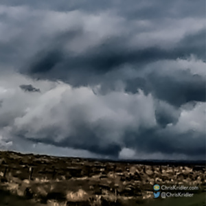
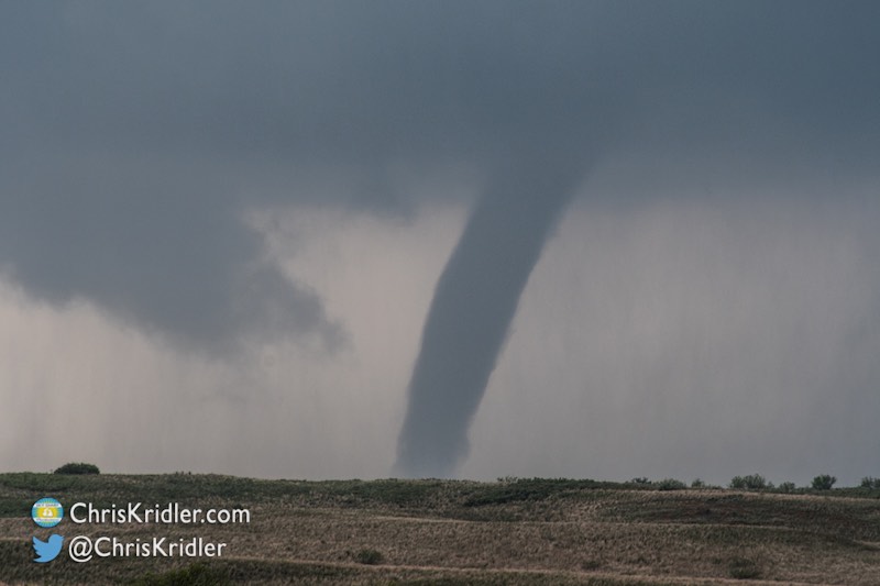
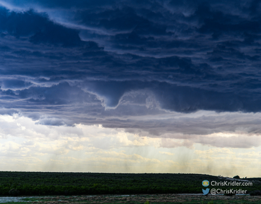
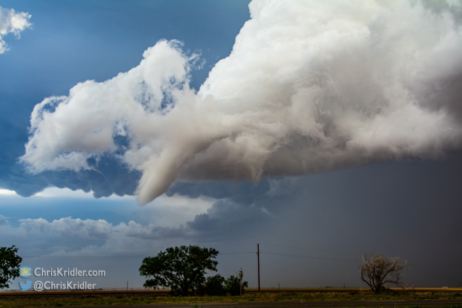
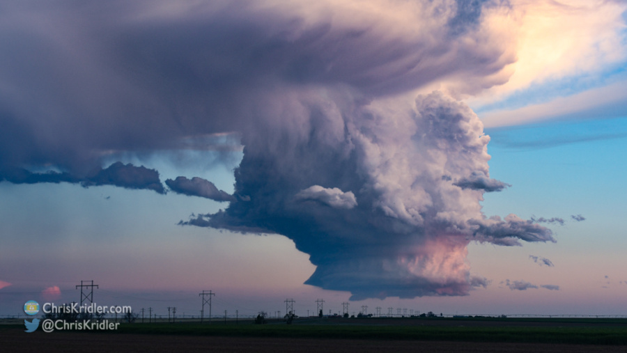
Yeah, this is awful. Consider it an Impressionist crop and edit of a GoPro frame showing the brief tornado, quite a bit northeast of Clayton, NM.
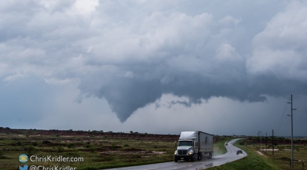
Scott and Dave had stayed with the storm, watching it develop. We pulled up on a dirt road next to them just as they were about to move closer to the developing tornado. We quickly turned around and resumed heading north. We spotted the fleeting tornado, and I got only a glimpse on my wide-angle GoPro dash cam, resulting in – yes – another crappy image when I cropped it later. And unfortunately, we missed better tornadoes that occurred to our east that we were simply unreachable once we got into this area of almost no roads.
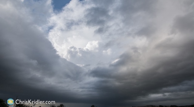
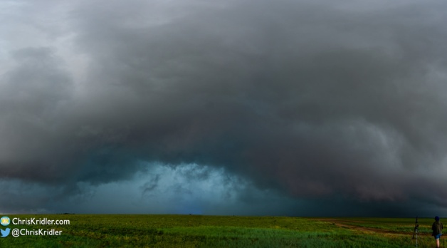
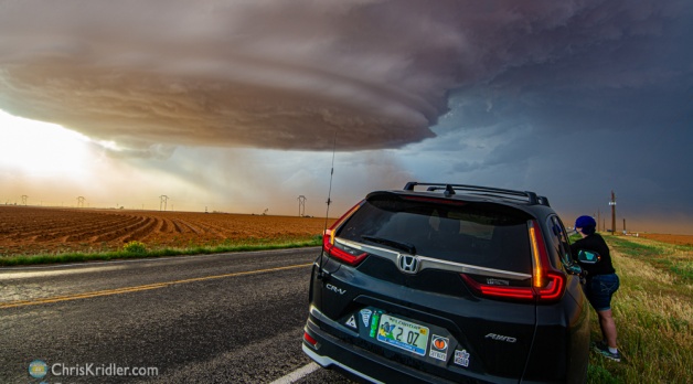
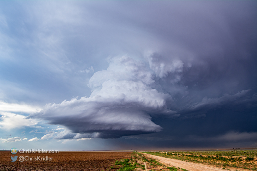
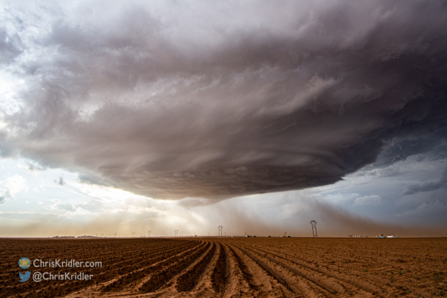
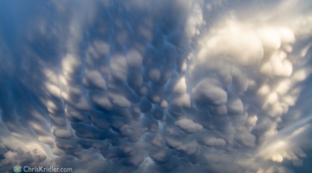
We got almost under the rotation, amid ground-scraping clouds and under the threat of hail, which we escaped by heading east. After that, the day was pretty much a car wash. But it was interesting. I’d never seen a bear while chasing storms before!
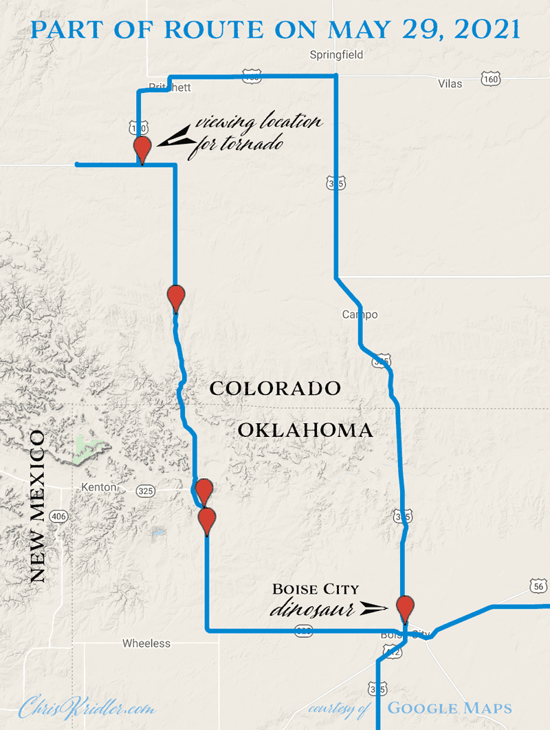
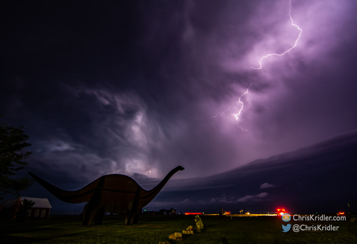
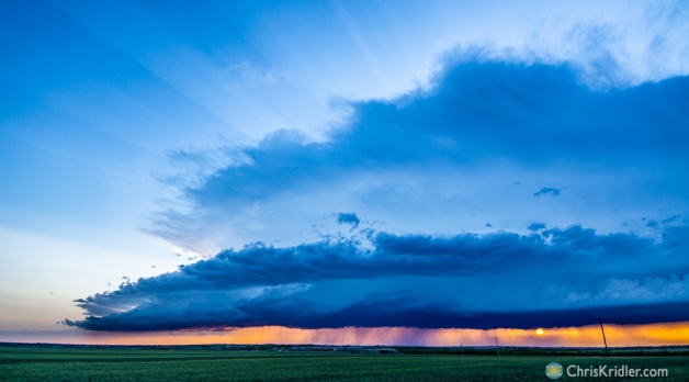
Roll over a photo below to see the caption, or click on any one to start a slide show of larger images.


.")


.")


.")