Candid family photos: Devan plays in the Cape Canaveral surf. Photo by Chris Kridler, chriskridler.com

Leatta contemplates periwinkles at a Cape Canaveral beach. Photo by Chris Kridler, chriskridler.com

Leatta clutches a handful of periwinkles and other mollusks. Photo by Chris Kridler, chriskridler.com
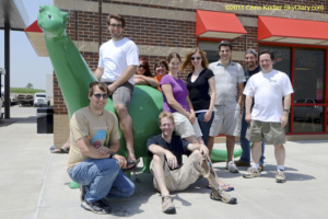
Ah, luminous youth! See the photos here.