On May 26, 2014, Peggy Willenberg and I hopped east to Stanton, Texas, from our starting point in Midland to keep an eye on developing storms.
We ran into friends there, including Dave Lewison, Scott McPartland, Robert Balogh, John Mann, Anemometer Steve Barabas, and The Weather Network’s Mark Robinson, Jaclyn Whittal and Michel Millaire, whom we met on and off all day.
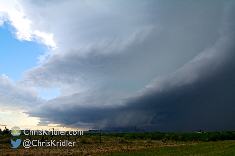
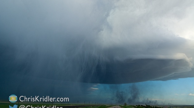
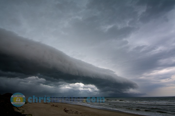
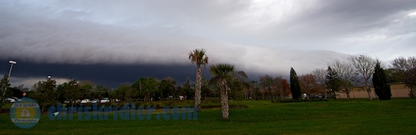
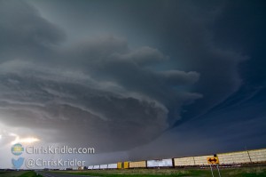
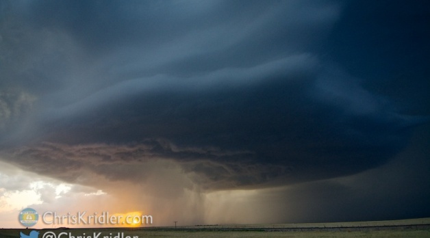
What a swoosh in this storm!
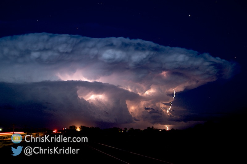
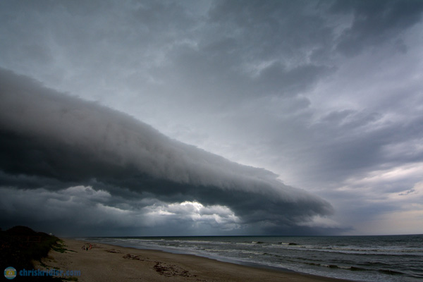
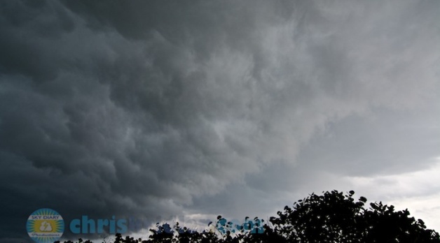
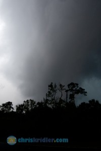
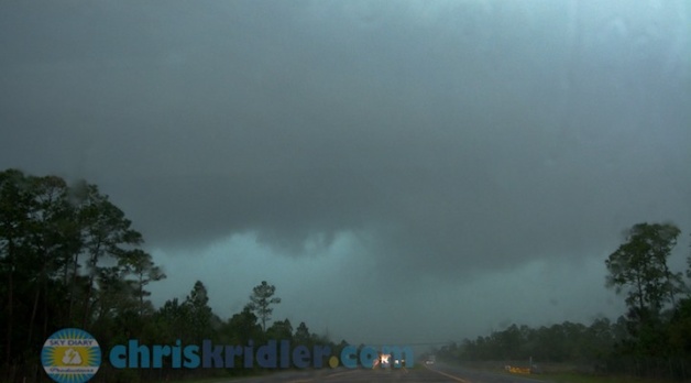
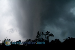
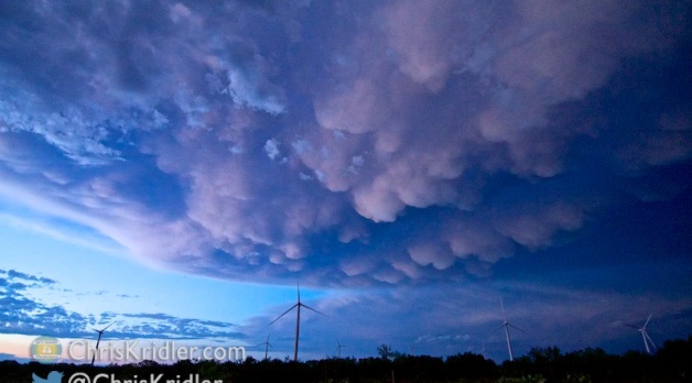
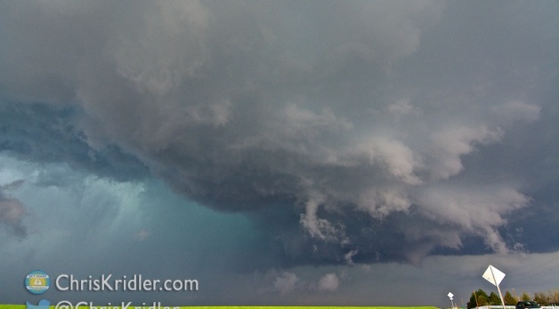
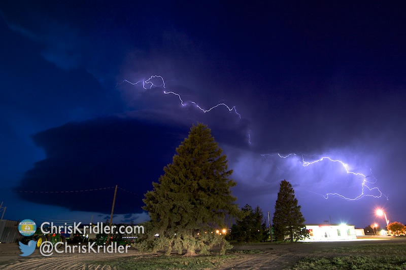
We targeted a storm to the northwest and chased it for a while, then switched to a storm developing behind it. It was a day of stunning structure and rotating features, some of them dusty, and while many of these spinups were reported as tornadoes, we didn’t see any tornado I’d hang on the wall of fame.
Roll over a photo to see its caption, and click on any of the pictures to start a slide show of larger images.


")