I have just made the most spectacular photo (above) and an additional shot available in my online photo gallery for print orders. Both are available in various formats, including canvas, metal and fine art prints.
This was one of those spontaneous “gentlemen’s chases” (or lady’s chase) just a few minutes from home on Florida’s Space Coast that resulted in one of the most spectacular lightning photos I’ve ever captured.
A small, isolated storm was headed toward Cocoa, Florida, on September 28, 2016, not far from my home. At first I thought I might try to intercept it along the water somewhere, but I realized this might be the chance to get lightning with the Cocoa water tower (I’d tried before). I stopped at one location but was frustrated by the trees, so I thought I’d take a chance and see if the storm would cooperate and drop lightning close enough to the tower that I could capture it if I was right across the street.
For a while, it seemed the storm was dying, and then it pulsed up with stunning results. I posted the most insane of these lightning flashes on Facebook, and it went viral, with a few of the usual “this is Photoshopped” skeptics chiming in. The only “Photoshopping” on that photo was the kind of minimal adjustments to contrast and reduction of highlights that photographers do on all photos. The exposure was nearly perfect, so I made minimal adjustments later (bringing down the slight overexposure of the bright-white water tower) and trimmed a thin slice off the right edge to achieve 4×5 dimensions. Settings: ISO 100, f/11, 11 seconds.
In fact, this is one of the more perfect lightning exposures I’ve ever achieved. Luck, experience, patience and perseverance all played a role. You can read about how the chase and photos evolved in the captions below, with settings.
Roll over each image to see the caption, or click on one to see a slide show with larger photos. Interested in prints? Learn more.
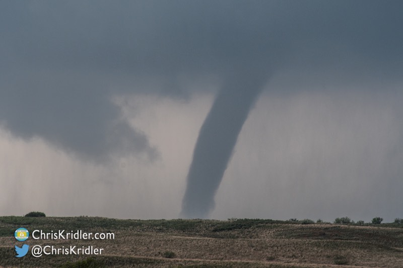
During a busy summer, I’ve been posting videos here and there, which you’ve noticed if you subscribe to my YouTube channel. Since I’m about to do a presentation on storm chasing, I thought I’d include video from this year, so I made a shorter edit (about 4 minutes, 40 seconds) of the incredible tornado I saw May 9 near Wynnewood, Oklahoma. (Also near Elmore City and Katie – I think the storm chasing community has not quite settled on the unofficial geographical location.) If the music bugs you, check out the longer version.
Kathy Velasquez and I targeted southwestern Kansas on May 24, 2016, and saw one of the most extraordinarily prolific tornado-producing storms of my career south of Dodge City, Kansas.
We also met up with or chased in the vicinity of chase friends Stephen Barabas, Scott McPartland, Dave Lewison, Jaclyn Whittal, George Kourounis, Mark Robinson, Bill Hark, Jason Persoff, Robert Balogh and John Mann – and a couple hundred other chasers!
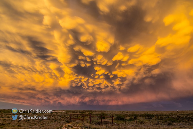
We actually lost count of the tornadoes. Getting close was a challenge because of muddy roads, but the wide shots of the structure with the tornado were glorious, especially since it missed the bulk of Dodge City. And the day ended with even more spectacular skies, including a dazzling mammatus show.
Roll over each image to see the caption, or click on one to see a slide show with larger photos.
Kathy Velasquez and I targeted the north-central Texas Panhandle on May 22. Two tornadoes, including a large one that went from a wedge/fat cone to a multivortex beast, were the payoff for a crazy day of colliding storms and camera issues. And we got to film while being blasted with wind and rain and dodging peril as rear-flank downdraft winds knocked down telephone poles (watch the video for the grungy results).
Photography was challenging to say the least, but it was a visceral experience in person.
Roll over each image to see the caption, or click on one to see a slide show with larger photos.
On May 21, Kathy Velasquez and I focused our chase target to Leoti, Kansas, along with legions of other chasers, and were treated to a stunning supercell with amazing structure.
We barely saw the first tornado and missed the others but chose to hang back and appreciate this rare beauty of a storm rather than tangle with the rain. This supercell ranks among my favorite storms of all time for its beauty.
Roll over each image to see the caption, or click on one to see a slide show with larger photos.
On May 18, Kathy Velasquez and I aimed for the point where extreme western Texas met New Mexico, in the only warm air on the front that wasn’t in Mexico.
We went to El Paso and then north into New Mexico to chase the storms there. As a bonus, we saw a variety of scenery along the way.
Roll over each image to see the caption, or click on one to see a slide show with larger photos.
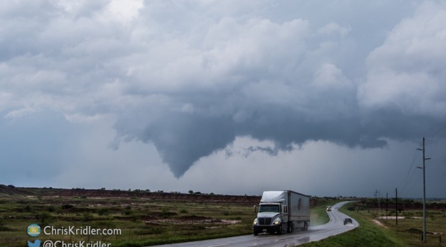
On May 16, Kathy Velasquez and I targeted the western Oklahoma Panhandle with an eye toward seeing a storm that might produce a tornado.
Despite a lot of cloud cover and relatively cold temperatures, we saw just that – plus beautiful storm structure as we chased storms into the Texas Panhandle.
Roll over each image to see the caption, or click on one to see a slide show with larger photos.
May 14, 2016, was a down day for chasing storms, so a great day to attend the event in Wakita, Oklahoma, celebrating the 20th anniversary of the movie “Twister.”
In the film, the town is destroyed by a tornado. During this event, storm chasers drove through town in an impromptu parade, as you can see in the video.
Roll over each image to see the caption, or click on one to see a slide show with larger photos.
Sometimes, as a storm chaser, I take a chance on a marginal forecast rather than chase a higher likelihood of severe storms in a place I don’t want to chase.
On May 11, I targeted an area with decent upper-level winds and dewpoints – where Colorado meets the Oklahoma Panhandle and the northern Texas Panhandle. I refined the target to a storm coming out of New Mexico, and after driving in a rather frustrating loop (road network issues), I ended up in front of a storm coming out of Clayton, New Mexico, that just got prettier and stronger until it ended up being warned as severe.
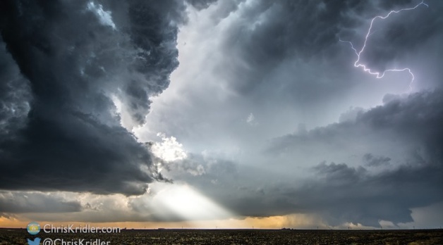
This storm and its sister storm had incredible lightning that I chased all the way back to Amarillo.
Roll over each image to see the caption, or click on one to see a slide show with larger photos.