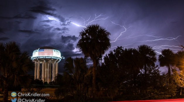
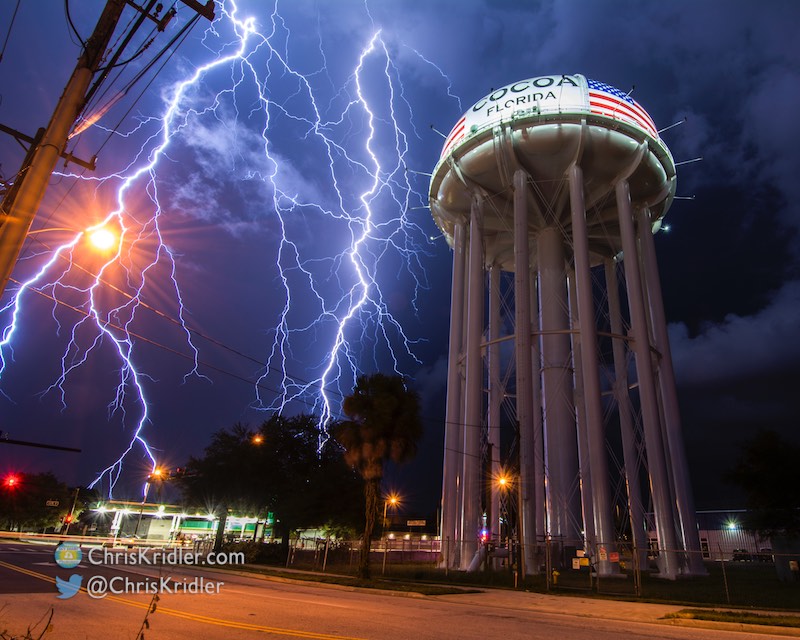
This fantastic bolt – ALL IN A SINGLE FLASH – ripped across the sky next to the Cocoa, Florida, water tower.
This was one of those spontaneous “gentlemen’s chases” (or lady’s chase) just a few minutes from home on Florida’s Space Coast that resulted in one of the most spectacular lightning photos I’ve ever captured.
A small, isolated storm was headed toward Cocoa, Florida, on September 28, 2016, not far from my home. At first I thought I might try to intercept it along the water somewhere, but I realized this might be the chance to get lightning with the Cocoa water tower (I’d tried before). I stopped at one location but was frustrated by the trees, so I thought I’d take a chance and see if the storm would cooperate and drop lightning close enough to the tower that I could capture it if I was right across the street.
For a while, it seemed the storm was dying, and then it pulsed up with stunning results. I posted the most insane of these lightning flashes on Facebook, and it went viral, with a few of the usual “this is Photoshopped” skeptics chiming in. The only “Photoshopping” on that photo was the kind of minimal adjustments to contrast and reduction of highlights that photographers do on all photos. The exposure was nearly perfect, so I made minimal adjustments later (bringing down the slight overexposure of the bright-white water tower) and trimmed a thin slice off the right edge to achieve 4×5 dimensions. Settings: ISO 100, f/11, 11 seconds.
In fact, this is one of the more perfect lightning exposures I’ve ever achieved. Luck, experience, patience and perseverance all played a role. You can read about how the chase and photos evolved in the captions below, with settings.
Roll over each image to see the caption, or click on one to see a slide show with larger photos. Interested in prints? Learn more.


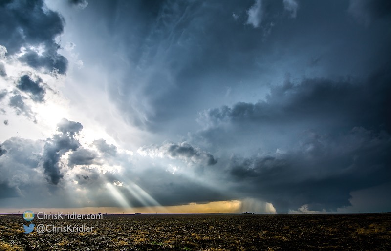


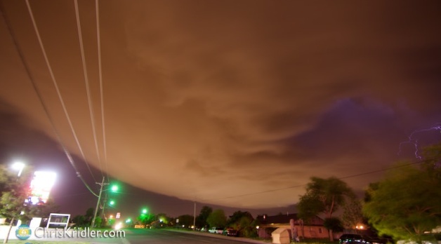
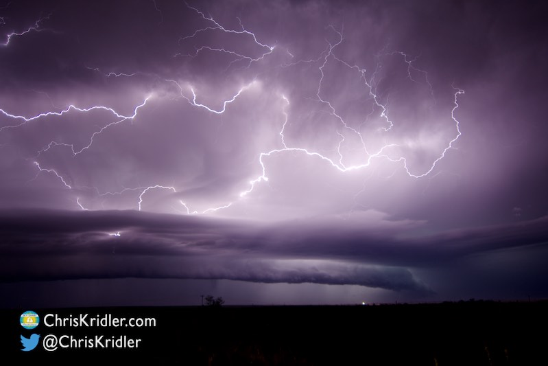
 and lightning crawler.")


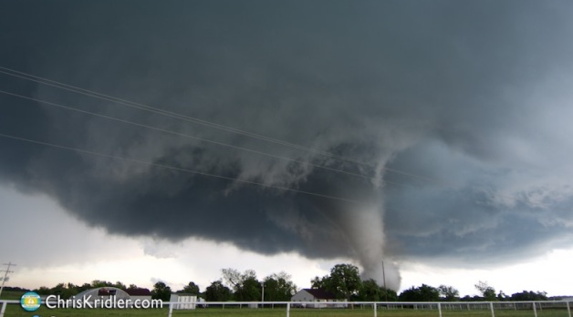
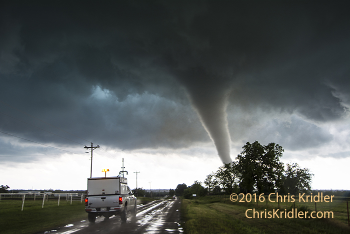
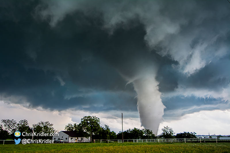
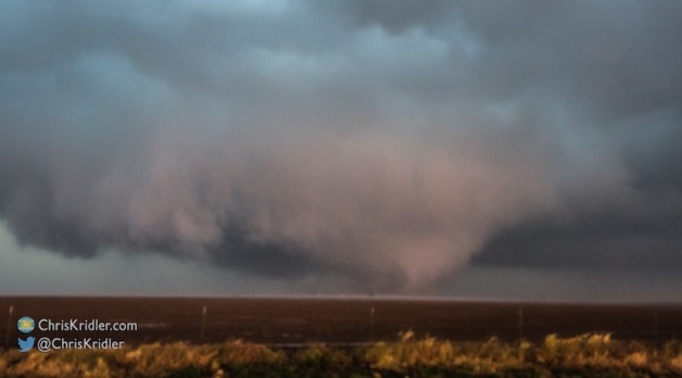
 of the cone in the rain.")


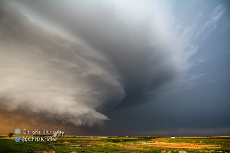
 talks with folks during the event in Wakita.")