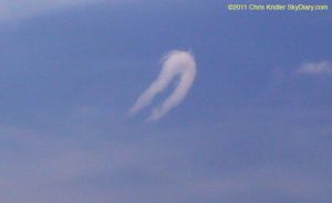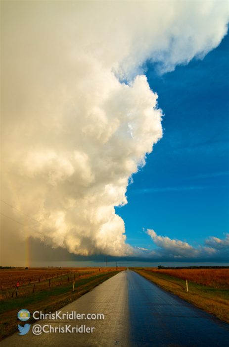
A storm passes over the road May 20 at Cairo, Kansas, leaving it glistening with the reflection of the cloud, which is lit by the setting sun. Photo by Chris Kridler, chriskridler.com
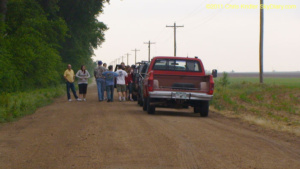
It’s about 4 a.m. CDT, and I’m making this post fast, so I can get to sleep. I had a glorious chase in southwest Kansas today (May 20 is still today for me, at the moment), as minor storms firing off the dryline offered lovely photo opportunities as they gained strength. I started with a big group of friends, but the company soon narrowed to Jason Persoff and Robert Balogh as we split in different directions around the storms. We kept going after the southern storms forming on the line, all in the vicinity of Pratt, Kansas. Here is just one shot; I have a lot more to post, but time ran out tonight after trouble on the road.
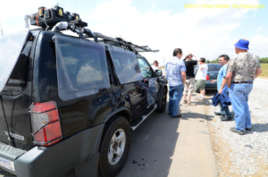
Just 10 miles west of Wichita late at night on the way into town and to our hotel rooms, Jason hit a deer. Or maybe we should say the deer hit Jason. Either way, Jason was OK, but the deer and the rental car were both in bad shape. Many phone calls, the kind attention of a wonderful police officer, and a tow truck later, and all Jason’s stuff was in Robert’s and my vehicles, and we were able to get under way again. We got in about 2 a.m., and it’s taken me forever to get all the photos off my cards. I just don’t have time to process them all tonight before lapsing into unconsciousness, so … more later!