I had a chance to see Cocoa, Florida’s July 4th fireworks from a height on Friday and snapped several photos. They were taken looking toward the S.R. 520 bridge over the Indian River Lagoon. Here are a few of the more interesting explosions. Happy summer!
Off and on for a few years, I’ve been trying to perfect a time-lapse of a night-blooming cereus flowering, but it’s a challenge, because each bloom flowers for only one night. Each time I’ve used a different camera and different lighting. I’ve blown out the image with too much light, so this year I used a smaller light. But I had to use a wide-angle waterproof camera because it was raining in our part of central Florida, so sacrifices were made in terms of quality and zoom. You can see the flowers buffeted by the wind as a shower whisks through.
Still, it’s always fascinating to see these beautiful flowers unfold for their one-night-a-year show. Click the gear symbol in the lower left after you hit play and choose 720HD for best quality.

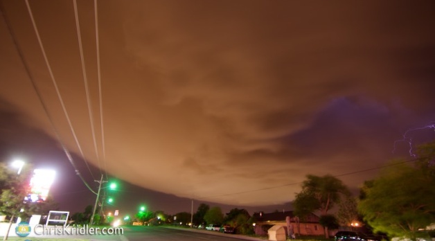
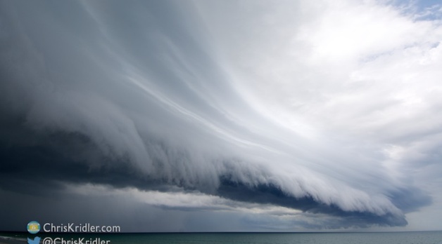
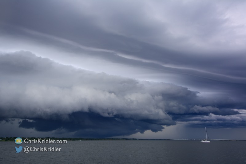
Here’s the shelf cloud as it appeared to the southwest.
On June 5, 2014, I started my day in Scottsbluff, Nebraska, and decided to target southeast Colorado. This would be my last day of chasing in Tornado Alley for this season.
I made a stop in Limon, running into Charles Edwards of Cloud 9 Tours, and evaluated data before committing to the target. The first storm I chased was near the southernmost town in Colorado, Branson.
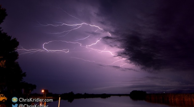
The severe storms led me into the dramatic topography of northeastern New Mexico and then the Texas Panhandle, when lightning lured me to pause during my all-night drive, as I was starting my trip home to the east coast.
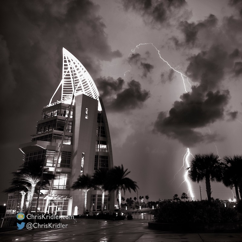
I was especially delighted to get shots of a storm looming over the Route 66 landmark U Drop Inn in Shamrock, Texas. The beautiful wee-hours storms were a satisfying way to end a trip of meager setups and an insane amount of driving.
Roll over a photo to see its caption, and click on any of the pictures to start a slide show of larger images.

We watched the line overtake us, then shot this rainbow west of Healy.
On June 1, 2014, I met up with fellow chasers Dave Lewison, Scott McPartland, Anemometer Steve Barabas, and The Weather Network’s Mark Robinson, Jaclyn Whittal and Michel Millaire.
We faced a bunch of ongoing convection, including a morning storm over Sidney, Nebraska, where we’d spent the night, and knew the forecast would be messy. We chased storms in northwest Kansas, but they had trouble remaining isolated and maintaining their strength.
Still, the skies were sometimes spectacular, and I got a few photos that made me happy.
Roll over a photo to see its caption, and click on any of the pictures to start a slide show of larger images.
On May 26, 2014, Peggy Willenberg and I hopped east to Stanton, Texas, from our starting point in Midland to keep an eye on developing storms.
We ran into friends there, including Dave Lewison, Scott McPartland, Robert Balogh, John Mann, Anemometer Steve Barabas, and The Weather Network’s Mark Robinson, Jaclyn Whittal and Michel Millaire, whom we met on and off all day.

What a swoosh in this storm!
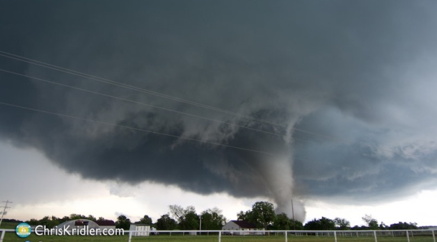
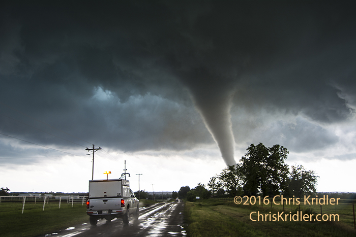
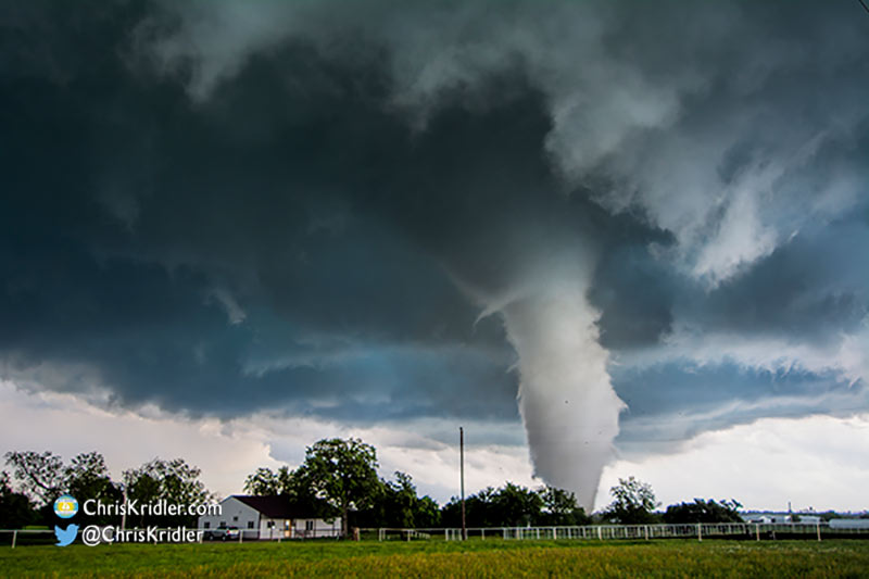
We targeted a storm to the northwest and chased it for a while, then switched to a storm developing behind it. It was a day of stunning structure and rotating features, some of them dusty, and while many of these spinups were reported as tornadoes, we didn’t see any tornado I’d hang on the wall of fame.
Roll over a photo to see its caption, and click on any of the pictures to start a slide show of larger images.

This Nebraska supercell had a mothership appearance and big hail on May 19, 2014. Photo by Chris Kridler, SkyDiary.com, ChrisKridler.com
Catch up on all the chases on my 2014 storm reports page on SkyDiary.com. More updates are in the works. You can see where I am during active storm chases on the map on the tracking page. And please follow me on Twitter for the latest!
On May 21, 2014, Peggy Willenberg and I moved southwest from our starting point in Sterling, Colorado, to get into position in front of a cell coming out of the Denver area, where a brief tornado was reported near the airport. (There were many tornadoes reported today, but this is the only one that’s yielded convincing video that I’ve seen so far.)
We got in front of the storm north of Bennett and watched it make a serious effort at organizing as it spun.
We followed it east, watching the rotation and staying ahead of the hail. It was a beautiful storm, especially with the green light that suggested how much hail it held.
Roll over a photo to see its caption, and click on any of the pictures to start a slide show of larger images.
On May 20, 2014, Peggy Willenberg and I shot south from the Nebraska panhandle into central Colorado, driving hard to get into position in front of a cell coming out of the Denver area.
We got in front of the storm around Last Chance and were rewarded with a spinning storm that made frequent wall clouds but could never quite produce a tornado, though it was tornado-warned as it passed over Burlington. Instead, we saw some hot lightning from the town.

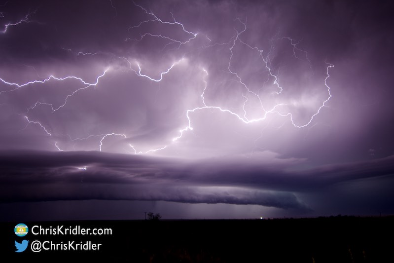
I liked the way this lightning curled around the storm.
Roll over a photo to see its caption, and click on any of the pictures to start a slide show of larger images.
On May 19, 2014, Peggy Willenberg and I finally got into the range of chaseable storms after driving for two days from South Carolina to begin our storm chase.
When we reached the Nebraska panhandle, prospects didn’t look great for severe storms, and near Scottsbluff, we watched several small cells pop up and die as they moved northeast out of Wyoming. But patience was rewarded as we finally got a gorgeous UFO-like supercell, complete with hail, blowing tumbleweeds, lightning and a mothership structure.

The lightning was accompanied by sparkling stars. You can see the railroad tracks in the foreground.
Roll over a photo to see its caption, and click on any of the pictures to start a slide show of larger images.

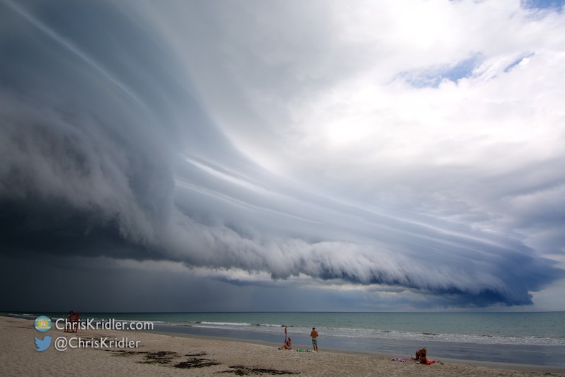
The tail end of the outflow boundary/shelf cloud wasn’t as impressive as the rest, but it was still pretty. Photo by Chris Kridler, ChrisKridler.com, SkyDiary.com