
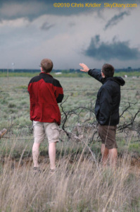
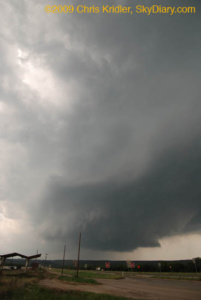
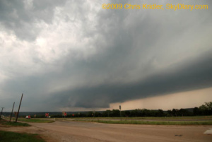
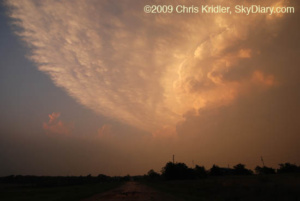
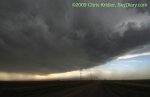
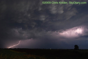
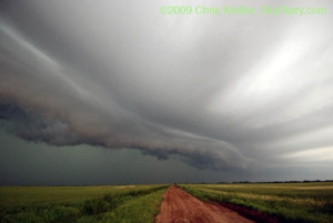
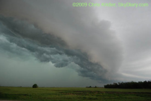
This is the quick version, since it’s 2 a.m. central time, and I’m beat. South Dakota hills are beautiful; chasers always seem to end up in the same spot; the storms didn’t have quite what they needed where we wanted them; but a tornado-warned storm at dark managed to produce a great lightning show for me, and that was enough.
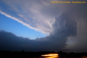
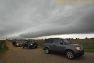
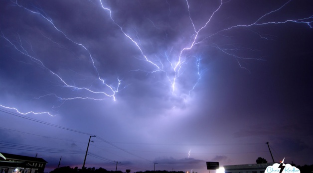
[Added later from the old SkyDiary archive…] I started the day in O’Neill, Nebraska, and initially thought I would target the Wyoming-South Dakota border west of Rapid City. But after a pleasant photographic detour, I ended up in a chaser convergence in Murdo, S.D., where it appeared the juicy southeast winds might help kick things off. Instead, the line that formed on the Wyoming-S.D. border was about the only game in town. I headed down to the southernmost storm and got there just as it was getting really dark – and as the tornado-warned storm was spitting out huge amounts of lightning.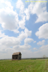
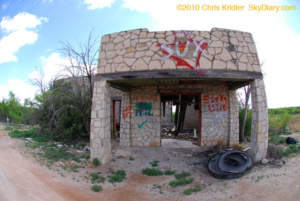
9 MAY 2011 – South Dakota has so many picturesque, abandoned houses. Photo by Chris Kridler, chriskridler.com
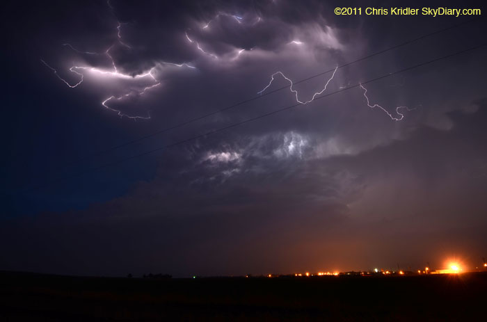
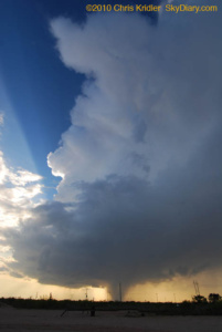
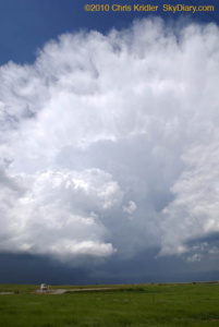
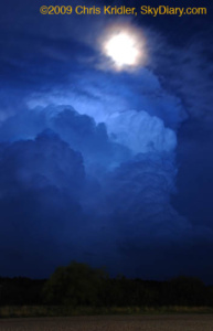
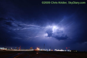
9 MAY 2011 – The storm cell had a nice structure, illuminated by the lightning. Photo by Chris Kridler, chriskridler.com
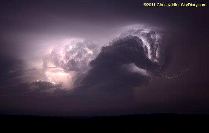
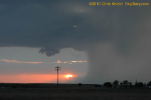
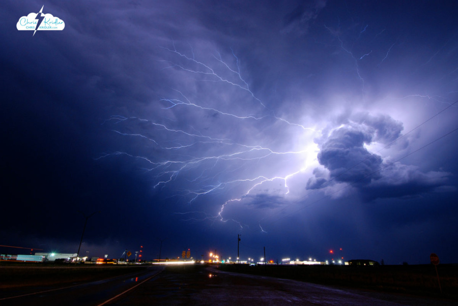
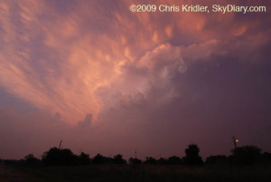
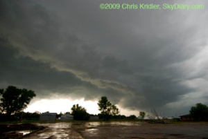
9 MAY 2011 – Use your imagination – the storm looks as if it has its arms up for a fight! Photo by Chris Kridler, chriskridler.com


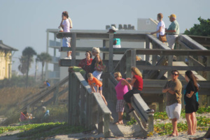


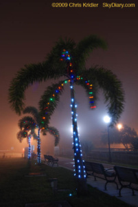 December 14, 2009: A fog event right out of a science-fiction movie rolled into Brevard County on Dec. 14. When I drove to the barrier island in the late afternoon, the fog seemed to be enveloping only the beach communities. Then it moved inland. I got just a few photos in Cocoa Village of the Christmas lights in the fog.