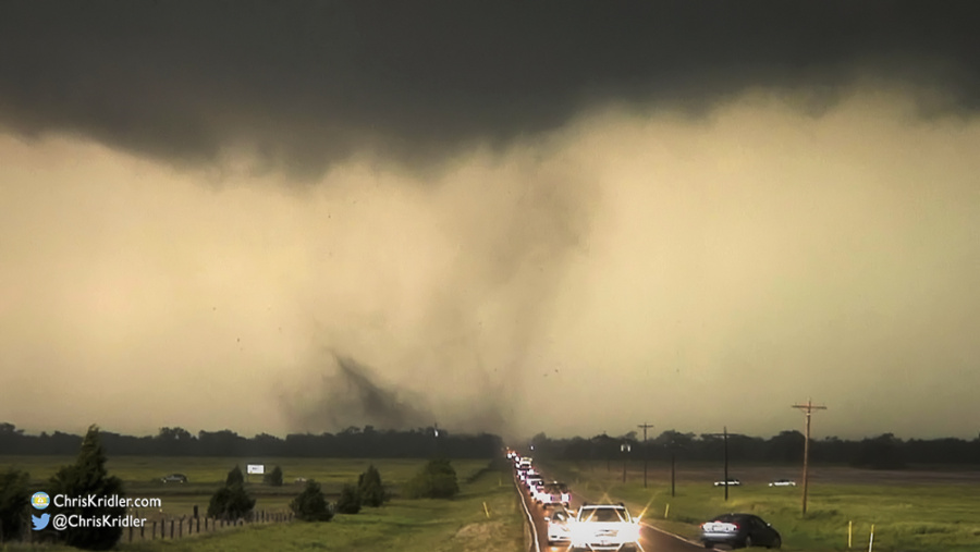
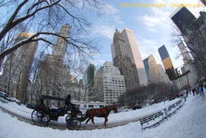
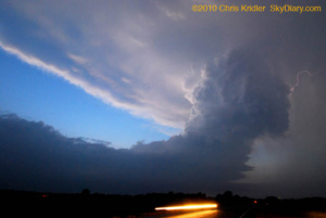
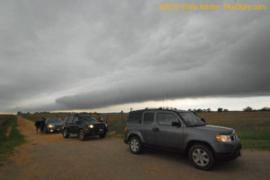
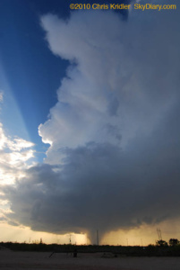
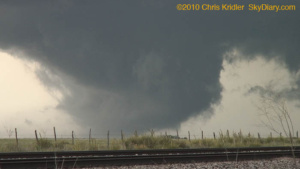
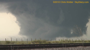
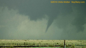
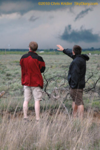
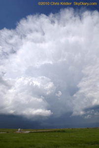
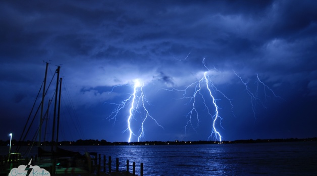
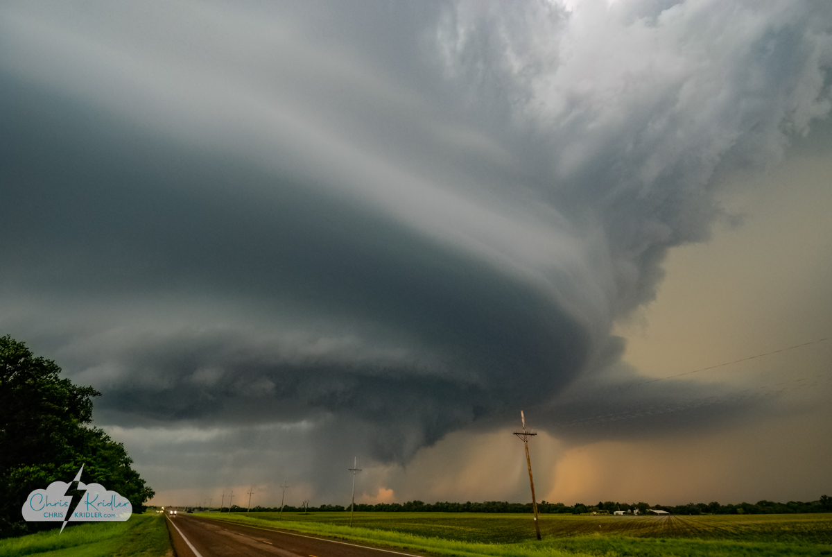
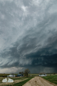
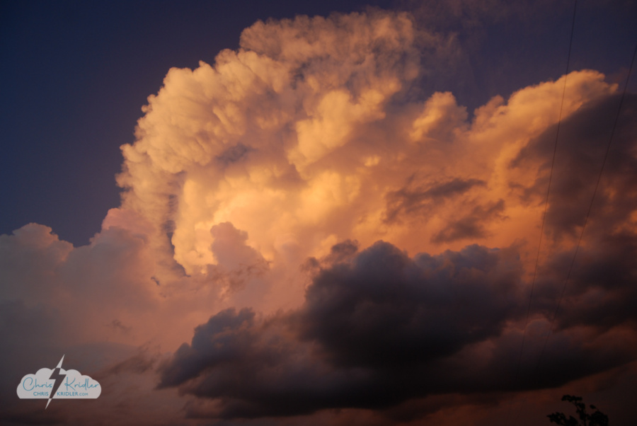
Tornado-warned storm between Cairo and Ravenna, Nebraska. Photo by Chris Kridler, chriskridler.com
Late update today, because I’m in another crappy hotel (in north-central Kansas) whose wireless wasn’t working last night. I called the front desk and asked what the name of the network was, because it wasn’t showing up in the list. “I think it would be some kind of Internet thing, America Online or something like that,” the gentleman informed me. After a few minutes of conversation, he confessed, “I’m almost computer illiterate, to tell you the truth.” Thanks. Oh, yeah, and they told me breakfast was over at 10, but I found out the hard way it ended at 9. No hot waffle for me!
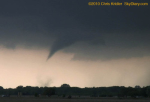
Not that I’m complaining, though in a way I am. I was on the main storm show from the start yesterday. It was another day of a churning low and crazy storm motions as the cells in question formed and then moved north or west around the low pressure. My first thought was northeast Kansas, but as the low’s position became more evident on the computer models, I felt it was important to go to eastern Nebraska, where the surface winds would be backed, thus aiding rotation. I spoke with Steve Sponsler and with Daniel Shaw, and Daniel and I decided to go for the Nebraska target, despite the Storm Prediction Center’s more likely tornado risk farther south. It was a good call, even if we didn’t see the reported tornadoes.
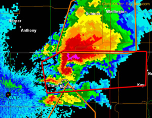
We were in York when the first storm went up and a tornado watch came out. We got to the storm fairly quickly, but as the whole line of convection exploded, the potential for photogenic storms fell. The photo is from that first storm, which was tornado-warned, between Cairo and Ravenna, Nebraska. It was an interesting chase, as storms kept training over the same area. The storm system almost looked like a hurricane over Nebraska on radar. Or, as I said on Facebook, a giant toilet that kept flushing supercells. It wasn’t exactly what I came out for, though. I’m still looking for a long-lived, isolated rotating storm that will pose for its picture. It doesn’t have to smile.