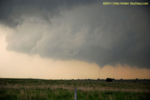
This May 21 tornado near Sulphur, Oklahoma, briefly touched down. Photo by Chris Kridler, chriskridler.com
I’m almost caught up on storm-chasing photos (after staying up half the night again). I saw severe storms Sunday, but not much to write home about, though I will post a few photos eventually. I was saddened to hear of the devastation in Joplin, Missouri. Some of my chaser friends were on the scene and helped victims of the tornado.
In the meantime, I have posted photos of the beautiful Kansas storms of May 20 and photos of the southeast Oklahoma tornadoes of May 21.
[Note: the old galleries at SkyDiary.com are gone, but here are a few photos from those pages.]
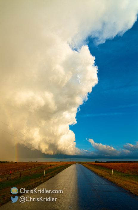
May 20, 2011: I had a glorious chase in southern Kansas today, as minor storms firing off the dryline offered lovely photo opportunities as they gained strength. I started with a big group of friends, but the company soon narrowed to Jason Persoff and Robert Balogh as we split in different directions around the storms. We kept going after the southern storms forming on the line, all in the vicinity of Pratt, Kansas.

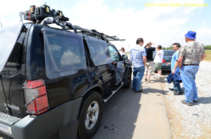
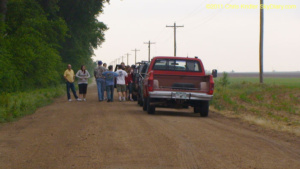
20 MAY 2011 – The Storm Hunters van (Mark’s crew) in Greensburg. Photo by Chris Kridler, chriskridler.com
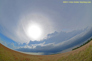
20 MAY 2011 – The storm was a beauty. Photo by Chris Kridler, chriskridler.com

One of my favorite photos from May 20.
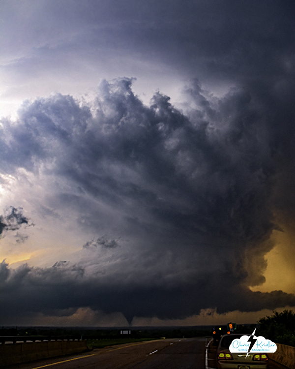
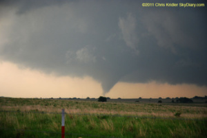
May 21, 2011: I targeted Ardmore in southern Oklahoma today as a starting point, due to a potentially favorable spin in the atmosphere and huge instability, among other things. When I got there after driving from Wichita, I couldn’t help driving just a bit farther to Marietta, just north of the Texas border. (Also, I left the Ardmore truck stop because a skunk was wandering around, and I’d almost stepped on it when I attempted to get out of my car.) I was anxious over an already-reported tornado on the ground in Texas, but like everything in Texas, it was really far away. I chose to remain in my target area, watching cloud towers push up and break apart – until one started to look as if it meant it. It had crisp, billowing convection and began to cut a gorgeous shape in the sky. When I got up close enough to see the base, rotation was evident. At first, it had a multi-vortex appearance and produced a couple of needle funnels in this mode. Later, it put down short-lived tornadoes. And much later, as this storm died, another to its north produced a tornado just outside Ada, Oklahoma. I got to it just in time.
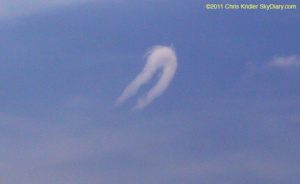
21 MAY 2011 – First, a needle tornado touched down near Sulphur, Oklahoma. Photo by Chris Kridler, chriskridler.com
21 MAY 2011 – Its tendrils twisted on the ground. Photo by Chris Kridler, chriskridler.com